Distance to Bonny Doon, California

Calculating Your Route
Just a moment while we process your request...
Location Information
-
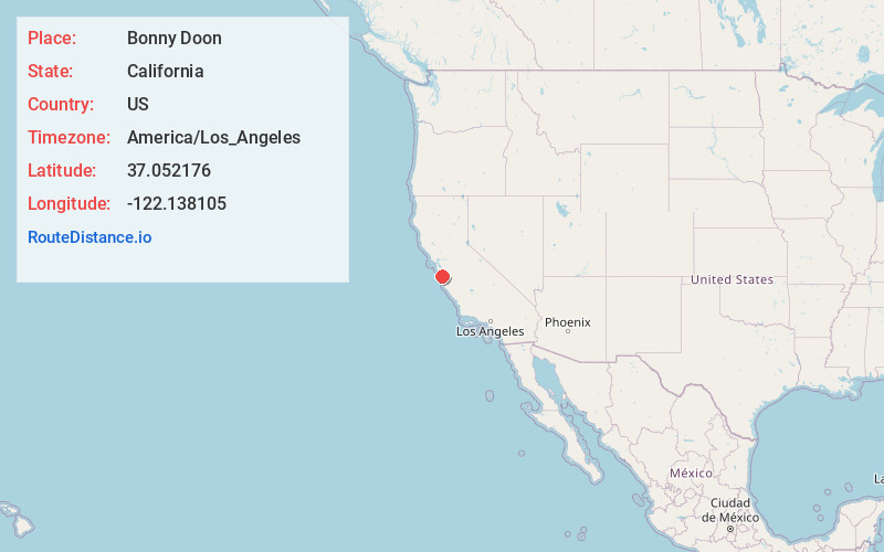
Full AddressBonny Doon, CA 95060
-
Coordinates37.0521758, -122.1381045
-
LocationBonny Doon , California , US
-
TimezoneAmerica/Los_Angeles
-
Current Local Time10:07:39 AM America/Los_AngelesThursday, June 5, 2025
-
Page Views0
About Bonny Doon
Bonny Doon is a census-designated place in Santa Cruz County, California. It is situated northwest of the city of Santa Cruz, considered part of the southern San Francisco Bay Area or northern Monterey Bay Area. Bonny Doon's population was 2,868, as reported by the 2020 census.


Nearby Places
Found 10 places within 50 miles

Felton
3.6 mi
5.8 km
Felton, CA
Get directions

Ben Lomond
3.8 mi
6.1 km
Ben Lomond, CA
Get directions

Boulder Creek
5.2 mi
8.4 km
Boulder Creek, CA 95006
Get directions

Santa Cruz
8.1 mi
13.0 km
Santa Cruz, CA
Get directions

Twin Lakes State Beach
9.9 mi
15.9 km
Twin Lakes State Beach, California 95062
Get directions

Soquel
10.9 mi
17.5 km
Soquel, CA
Get directions

Pleasure Point
11.4 mi
18.3 km
Pleasure Point, CA
Get directions

Capitola
11.5 mi
18.5 km
Capitola, CA
Get directions

Aptos
14.2 mi
22.9 km
Aptos, CA 95003
Get directions

Monte Sereno
15.0 mi
24.1 km
Monte Sereno, CA 95030
Get directions
Location Links
Local Weather
Weather Information
Coming soon!
Location Map
Static map view of Bonny Doon, California
Browse Places by Distance
Places within specific distances from Bonny Doon
Short Distances
Long Distances
Click any distance to see all places within that range from Bonny Doon. Distances shown in miles (1 mile ≈ 1.61 kilometers).