Distance to Boone County, Kentucky

Calculating Your Route
Just a moment while we process your request...
Location Information
-
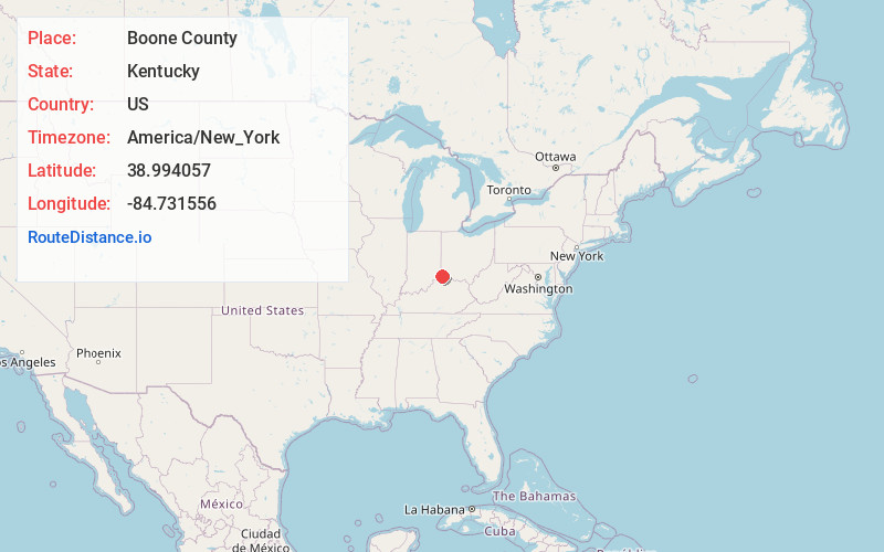
Full AddressBoone County, KY
-
Coordinates38.9940572, -84.7315563
-
LocationKentucky , US
-
TimezoneAmerica/New_York
-
Current Local Time8:51:28 AM America/New_YorkThursday, June 19, 2025
-
Page Views0
About Boone County
Boone County is a county located on the Ohio River in the northernmost part of the Commonwealth of Kentucky. As of the 2020 census, the population was 135,968, making it the fourth-most populous county in Kentucky. Its county seat is Burlington.


Nearby Places
Found 10 places within 50 miles

Burlington
2.3 mi
3.7 km
Burlington, KY 41005
Get directions

Oakbrook
2.5 mi
4.0 km
Oakbrook, KY
Get directions
Limaburg
3.0 mi
4.8 km
Limaburg, KY 41042
Get directions
Waterloo
3.5 mi
5.6 km
Waterloo, KY 41005
Get directions
Sugartit
4.0 mi
6.4 km
Sugartit, KY 41042
Get directions

Union
4.3 mi
6.9 km
Union, KY
Get directions
Belleview
5.1 mi
8.2 km
Belleview, KY
Get directions

Hebron
5.2 mi
8.4 km
Hebron, KY 41048
Get directions
Bullittsville
5.6 mi
9.0 km
Bullittsville, KY 41005
Get directions

Florence
5.6 mi
9.0 km
Florence, KY
Get directions
Location Links
Local Weather
Weather Information
Coming soon!
Location Map
Static map view of Boone County, Kentucky
Browse Places by Distance
Places within specific distances from Boone County
Short Distances
Long Distances
Click any distance to see all places within that range from Boone County. Distances shown in miles (1 mile ≈ 1.61 kilometers).