Distance to Boyd County, Kentucky

Calculating Your Route
Just a moment while we process your request...
Location Information
-
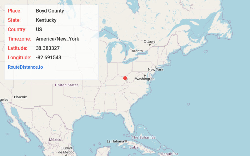
Full AddressBoyd County, KY
-
Coordinates38.3833265, -82.6915429
-
LocationKentucky , US
-
TimezoneAmerica/New_York
-
Current Local Time1:19:39 AM America/New_YorkThursday, June 19, 2025
-
Page Views0
About Boyd County
Boyd County is a county located in the U.S. Commonwealth of Kentucky. As of the 2020 census, its population was 48,261. The county seat is Catlettsburg, and its largest city is Ashland. The county was formed in 1860.
Nearby Places
Found 10 places within 50 miles

Cannonsburg
0.7 mi
1.1 km
Cannonsburg, KY
Get directions
Meads
2.2 mi
3.5 km
Meads, KY 41102
Get directions
Rockdale
2.5 mi
4.0 km
Rockdale, KY 41102
Get directions
Mavity
2.7 mi
4.3 km
Mavity, KY 41129
Get directions
Princess
2.9 mi
4.7 km
Princess, KY 41102
Get directions

Summit
4.0 mi
6.4 km
Summit, KY 41102
Get directions
Coalton
4.3 mi
6.9 km
Coalton, KY 41102
Get directions
Winslow
4.9 mi
7.9 km
Winslow, KY 41102
Get directions
Ironville
5.1 mi
8.2 km
Ironville, KY 41102
Get directions

Catlettsburg
5.1 mi
8.2 km
Catlettsburg, KY 41129
Get directions
Location Links
Local Weather
Weather Information
Coming soon!
Location Map
Static map view of Boyd County, Kentucky
Browse Places by Distance
Places within specific distances from Boyd County
Short Distances
Long Distances
Click any distance to see all places within that range from Boyd County. Distances shown in miles (1 mile ≈ 1.61 kilometers).