Distance to Bradenton Beach, Florida

Calculating Your Route
Just a moment while we process your request...
Location Information
-
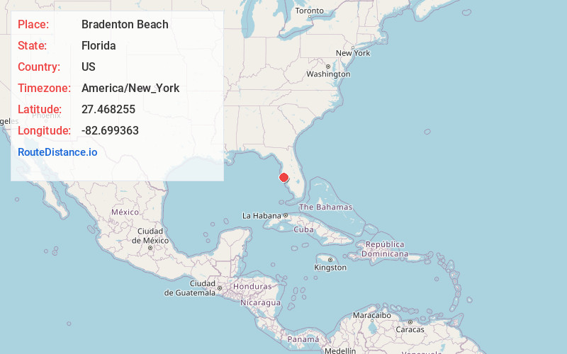
Full AddressBradenton Beach, FL
-
Coordinates27.4682549, -82.6993631
-
LocationBradenton Beach , Florida , US
-
TimezoneAmerica/New_York
-
Current Local Time7:07:08 PM America/New_YorkTuesday, June 17, 2025
-
Page Views0
About Bradenton Beach
Bradenton Beach is a city on Anna Maria Island in Manatee County, Florida, United States. The population was 908 at the 2020 census, down from 1,171 in 2010. It is part of the North Port-Bradenton-Sarasota, Florida Metropolitan Statistical Area.


Nearby Places
Found 10 places within 50 miles

Cortez
0.8 mi
1.3 km
Cortez, FL
Get directions

Holmes Beach
2.0 mi
3.2 km
Holmes Beach, FL 34217
Get directions

Longbeach
2.4 mi
3.9 km
Longbeach, Longboat Key, FL 34228
Get directions

Anna Maria Island
2.6 mi
4.2 km
Anna Maria Island, Florida
Get directions

Longboat Key
4.6 mi
7.4 km
Longboat Key, FL
Get directions
Palma Sola
5.1 mi
8.2 km
Palma Sola, FL 34209
Get directions

West Bradenton
5.7 mi
9.2 km
West Bradenton, FL
Get directions
Terra Mana
6.8 mi
10.9 km
Terra Mana, Palmetto, FL 34221
Get directions
South Bradenton
7.2 mi
11.6 km
South Bradenton, FL
Get directions

Bayshore Gardens
7.3 mi
11.7 km
Bayshore Gardens, FL
Get directions
Location Links
Local Weather
Weather Information
Coming soon!
Location Map
Static map view of Bradenton Beach, Florida
Browse Places by Distance
Places within specific distances from Bradenton Beach
Short Distances
Long Distances
Click any distance to see all places within that range from Bradenton Beach. Distances shown in miles (1 mile ≈ 1.61 kilometers).