Distance to Bradgate, Iowa

Calculating Your Route
Just a moment while we process your request...
Location Information
-
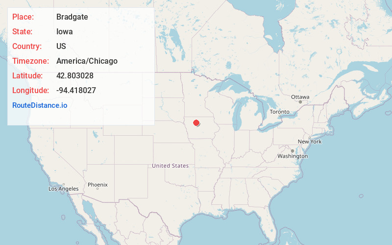
Full AddressBradgate, IA 50520
-
Coordinates42.8030275, -94.4180271
-
LocationBradgate , Iowa , US
-
TimezoneAmerica/Chicago
-
Current Local Time10:37:50 AM America/ChicagoSaturday, June 7, 2025
-
Page Views0
About Bradgate
Bradgate is a city in Humboldt County, Iowa, United States, at the conjunction of Sections 5, 6, 7, and 8 of Avery Township, and rests near the banks of the West Fork of the Des Moines River. The population was 75 in the 2020 census, a decline from 101 in 2000.
Nearby Places
Found 10 places within 50 miles

Gilmore City
5.3 mi
8.5 km
Gilmore City, IA 50541
Get directions

Rolfe
5.6 mi
9.0 km
Rolfe, IA 50581
Get directions
Bode
7.9 mi
12.7 km
Bode, IA 50519
Get directions

West Bend
10.9 mi
17.5 km
West Bend, IA 50597
Get directions

Humboldt
11.8 mi
19.0 km
Humboldt, IA 50548
Get directions
Dakota City
12.5 mi
20.1 km
Dakota City, IA
Get directions
Livermore
12.6 mi
20.3 km
Livermore, IA 50558
Get directions

Pocahontas
13.6 mi
21.9 km
Pocahontas, IA 50574
Get directions
Havelock
14.5 mi
23.3 km
Havelock, IA 50546
Get directions
Clare
15.2 mi
24.5 km
Clare, IA 50524
Get directions
Location Links
Local Weather
Weather Information
Coming soon!
Location Map
Static map view of Bradgate, Iowa
Browse Places by Distance
Places within specific distances from Bradgate
Short Distances
Long Distances
Click any distance to see all places within that range from Bradgate. Distances shown in miles (1 mile ≈ 1.61 kilometers).