Distance to Gilmore City, Iowa

Calculating Your Route
Just a moment while we process your request...
Location Information
-
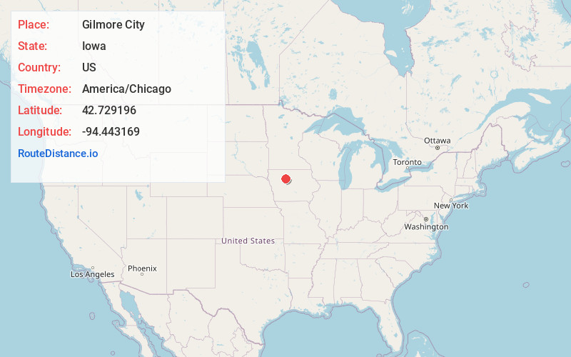
Full AddressGilmore City, IA 50541
-
Coordinates42.7291958, -94.4431687
-
LocationGilmore City , Iowa , US
-
TimezoneAmerica/Chicago
-
Current Local Time7:14:56 PM America/ChicagoFriday, June 6, 2025
-
Page Views0
About Gilmore City
Gilmore City is a city in Humboldt and Pocahontas counties in the U.S. state of Iowa. The population was 487 at the time of the 2020 census.

Nearby Places
Found 10 places within 50 miles

Rolfe
7.2 mi
11.6 km
Rolfe, IA 50581
Get directions

Pocahontas
11.5 mi
18.5 km
Pocahontas, IA 50574
Get directions

Humboldt
11.6 mi
18.7 km
Humboldt, IA 50548
Get directions
Dakota City
12.5 mi
20.1 km
Dakota City, IA
Get directions

Manson
14.6 mi
23.5 km
Manson, IA 50563
Get directions

West Bend
16.0 mi
25.7 km
West Bend, IA 50597
Get directions

Fort Dodge
21.3 mi
34.3 km
Fort Dodge, IA 50501
Get directions
Laurens
22.3 mi
35.9 km
Laurens, IA 50554
Get directions
Fonda
22.9 mi
36.9 km
Fonda, IA 50540
Get directions

Rockwell City
25.0 mi
40.2 km
Rockwell City, IA 50579
Get directions
Location Links
Local Weather
Weather Information
Coming soon!
Location Map
Static map view of Gilmore City, Iowa
Browse Places by Distance
Places within specific distances from Gilmore City
Short Distances
Long Distances
Click any distance to see all places within that range from Gilmore City. Distances shown in miles (1 mile ≈ 1.61 kilometers).