Distance to Fonda, Iowa

Calculating Your Route
Just a moment while we process your request...
Location Information
-
Full AddressFonda, IA 50540
-
Coordinates42.5813666, -94.8460957
-
LocationFonda , Iowa , US
-
TimezoneAmerica/Chicago
-
Current Local Time11:16:29 PM America/ChicagoSaturday, June 14, 2025
-
Page Views0
About Fonda
Fonda is a city in Pocahontas County, Iowa, United States. The population is estimated at 632.
Nearby Places
Found 10 places within 50 miles

Newell
8.1 mi
13.0 km
Newell, IA 50568
Get directions

Sac City
13.2 mi
21.2 km
Sac City, IA 50583
Get directions

Pocahontas
13.9 mi
22.4 km
Pocahontas, IA 50574
Get directions
Albert City
14.6 mi
23.5 km
Albert City, IA 50510
Get directions

Manson
16.3 mi
26.2 km
Manson, IA 50563
Get directions

Rockwell City
16.8 mi
27.0 km
Rockwell City, IA 50579
Get directions
Lakeside
16.9 mi
27.2 km
Lakeside, IA 50588
Get directions

Early
17.6 mi
28.3 km
Early, IA 50535
Get directions
Laurens
18.3 mi
29.5 km
Laurens, IA 50554
Get directions

Storm Lake
18.6 mi
29.9 km
Storm Lake, IA 50588
Get directions
Location Links
Local Weather
Weather Information
Coming soon!
Location Map
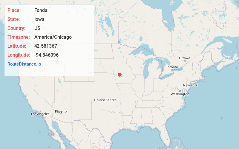
Static map view of Fonda, Iowa
Browse Places by Distance
Places within specific distances from Fonda
Short Distances
Long Distances
Click any distance to see all places within that range from Fonda. Distances shown in miles (1 mile ≈ 1.61 kilometers).