Distance to Branchville, Indiana

Calculating Your Route
Just a moment while we process your request...
Location Information
-
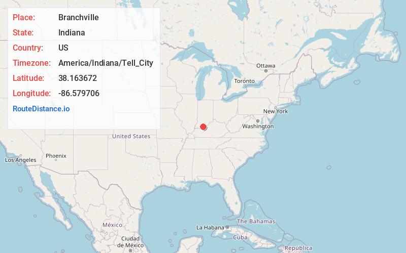
Full AddressBranchville, IN 47514
-
Coordinates38.1636715, -86.5797058
-
LocationBranchville , Indiana , US
-
TimezoneAmerica/Indiana/Tell_City
-
Current Local Time1:31:11 PM America/Indiana/Tell_CityFriday, May 23, 2025
-
Page Views0
About Branchville
Branchville is an unincorporated community in southern Oil Township, Perry County, in the U.S. state of Indiana. It lies along CR40 northeast of the city of Tell City, the county seat of Perry County. Although Branchville is unincorporated, it has a post office, with the ZIP code of 47514.
Nearby Places
Found 10 places within 50 miles

Leopold
4.1 mi
6.6 km
Leopold, IN 47551
Get directions
St Croix
4.2 mi
6.8 km
St Croix, IN 47576
Get directions

West Fork
5.6 mi
9.0 km
West Fork, IN 47118
Get directions
Terry
6.0 mi
9.7 km
Terry, Leopold Township, IN 47586
Get directions
Deuchars
7.2 mi
11.6 km
Deuchars, Boone Township, IN 47137
Get directions

Sulphur
7.4 mi
11.9 km
Sulphur, IN 47174
Get directions
Ranger
7.4 mi
11.9 km
Ranger, Anderson Township, IN 47586
Get directions
Magnet
7.9 mi
12.7 km
Magnet, IN 47520
Get directions
Bristow
7.9 mi
12.7 km
Bristow, IN 47515
Get directions
Fox Ridge
8.5 mi
13.7 km
Fox Ridge, Jefferson Township, IN 47513
Get directions
Location Links
Local Weather
Weather Information
Coming soon!
Location Map
Static map view of Branchville, Indiana
Browse Places by Distance
Places within specific distances from Branchville
Short Distances
Long Distances
Click any distance to see all places within that range from Branchville. Distances shown in miles (1 mile ≈ 1.61 kilometers).