Distance to West Fork, Indiana

Calculating Your Route
Just a moment while we process your request...
Location Information
-
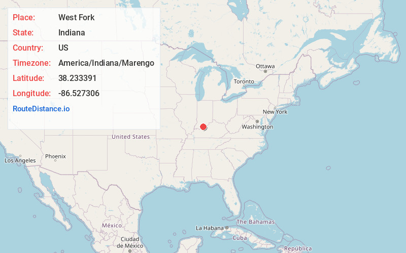
Full AddressWest Fork, IN 47118
-
Coordinates38.233391, -86.527306
-
LocationWest Fork , Indiana , US
-
TimezoneAmerica/Indiana/Marengo
-
Current Local Time1:10:10 AM America/Indiana/MarengoWednesday, June 25, 2025
-
Page Views0
About West Fork
West Fork is an unincorporated community in Union Township, Crawford County, Indiana.


Nearby Places
Found 10 places within 50 miles

Grantsburg
4.9 mi
7.9 km
Grantsburg, IN
Get directions
Mifflin
5.1 mi
8.2 km
Mifflin, Union Township, IN 47118
Get directions
Riddle
5.4 mi
8.7 km
Riddle, Ohio Township, IN 47118
Get directions
Beechwood
5.9 mi
9.5 km
Beechwood, IN 47137
Get directions
Switzer Crossroads
6.5 mi
10.5 km
Switzer Crossroads, Ohio Township, IN 47118
Get directions

Taswell
7.2 mi
11.6 km
Taswell, IN
Get directions
Magnolia
7.4 mi
11.9 km
Magnolia, IN 47118
Get directions
Eckerty
7.6 mi
12.2 km
Eckerty, IN 47116
Get directions

English
7.8 mi
12.6 km
English, IN 47118
Get directions
Leopold
9.4 mi
15.1 km
Leopold, IN 47551
Get directions
Location Links
Local Weather
Weather Information
Coming soon!
Location Map
Static map view of West Fork, Indiana
Browse Places by Distance
Places within specific distances from West Fork
Short Distances
Long Distances
Click any distance to see all places within that range from West Fork. Distances shown in miles (1 mile ≈ 1.61 kilometers).