Distance to Brandon, Texas

Calculating Your Route
Just a moment while we process your request...
Location Information
-
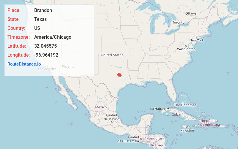
Full AddressBrandon, TX 76666
-
Coordinates32.0455747, -96.964192
-
LocationBrandon , Texas , US
-
TimezoneAmerica/Chicago
-
Current Local Time2:15:07 PM America/ChicagoWednesday, May 21, 2025
-
Page Views0
About Brandon
Brandon is an unincorporated community located in Hill County in Central Texas, United States. It is located at the intersection of State Highway 22 and FM 1243, approximately ten miles east of Hillsboro.


Nearby Places
Found 10 places within 50 miles

Mertens
4.1 mi
6.6 km
Mertens, TX 76666
Get directions

Milford
5.6 mi
9.0 km
Milford, TX 76670
Get directions

Bynum
5.7 mi
9.2 km
Bynum, TX 76631
Get directions

Irene
6.6 mi
10.6 km
Irene, TX 76666
Get directions

Frost
9.5 mi
15.3 km
Frost, TX 76641
Get directions

Malone
9.7 mi
15.6 km
Malone, TX 76660
Get directions

Hillsboro
10.0 mi
16.1 km
Hillsboro, TX 76645
Get directions

Lovelace
10.1 mi
16.3 km
Lovelace, TX 76645
Get directions
Chatt
10.2 mi
16.4 km
Chatt, TX 76645
Get directions

Italy
10.6 mi
17.1 km
Italy, TX 76651
Get directions
Location Links
Local Weather
Weather Information
Coming soon!
Location Map
Static map view of Brandon, Texas
Browse Places by Distance
Places within specific distances from Brandon
Short Distances
Long Distances
Click any distance to see all places within that range from Brandon. Distances shown in miles (1 mile ≈ 1.61 kilometers).