Distance to Brassell Bottom, Alabama

Calculating Your Route
Just a moment while we process your request...
Location Information
-
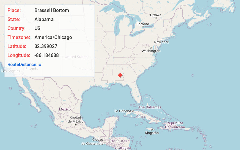
Full AddressBrassell Bottom, Montgomery, AL 36117
-
Coordinates32.3990269, -86.1846879
-
LocationMontgomery , Alabama , US
-
TimezoneAmerica/Chicago
-
Current Local Time7:40:24 PM America/ChicagoWednesday, July 2, 2025
-
Page Views0
Nearby Places
Found 10 places within 50 miles

Mt Meigs Station
4.5 mi
7.2 km
Mt Meigs Station, AL 36117
Get directions
New Bingham
5.0 mi
8.0 km
New Bingham, Redland, AL 36093
Get directions
Mt Meigs
5.4 mi
8.7 km
Mt Meigs, AL 36117
Get directions
Emerald Mountain
6.5 mi
10.5 km
Emerald Mountain, AL
Get directions
Blue Ridge
6.5 mi
10.5 km
Blue Ridge, AL 36093
Get directions
Redland
6.9 mi
11.1 km
Redland, AL 36093
Get directions

Montgomery
7.3 mi
11.7 km
Montgomery, AL
Get directions

Pike Rd
8.9 mi
14.3 km
Pike Rd, AL
Get directions

Wetumpka
10.1 mi
16.3 km
Wetumpka, AL
Get directions
Coosada
10.9 mi
17.5 km
Coosada, AL
Get directions
Location Links
Local Weather
Weather Information
Coming soon!
Location Map
Static map view of Brassell Bottom, Alabama
Browse Places by Distance
Places within specific distances from Brassell Bottom
Short Distances
Long Distances
Click any distance to see all places within that range from Brassell Bottom. Distances shown in miles (1 mile ≈ 1.61 kilometers).