Distance to Breedsville, Michigan

Calculating Your Route
Just a moment while we process your request...
Location Information
-
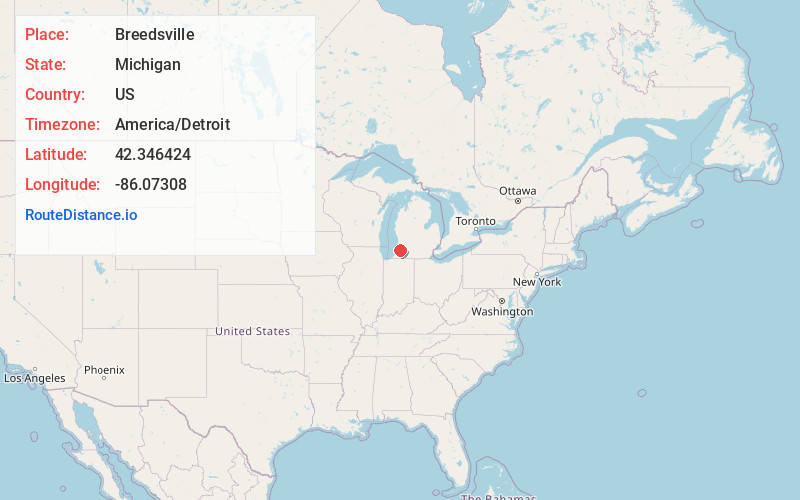
Full AddressBreedsville, MI
-
Coordinates42.3464239, -86.0730801
-
LocationBreedsville , Michigan , US
-
TimezoneAmerica/Detroit
-
Current Local Time1:21:38 AM America/DetroitMonday, June 23, 2025
-
Page Views0
About Breedsville
Breedsville is a village in Van Buren County of the U.S. state of Michigan. The population was 199 at the 2010 census. The village is within Columbia Township.
Nearby Places
Found 10 places within 50 miles

Bangor
3.1 mi
5.0 km
Bangor, MI 49013
Get directions

Bloomingdale
6.4 mi
10.3 km
Bloomingdale, MI 49026
Get directions

Lawrence
8.9 mi
14.3 km
Lawrence, MI 49064
Get directions

Gobles
9.9 mi
15.9 km
Gobles, MI 49055
Get directions

Hartford
10.8 mi
17.4 km
Hartford, MI 49057
Get directions

South Haven
11.0 mi
17.7 km
South Haven, MI 49090
Get directions

Paw Paw
12.9 mi
20.8 km
Paw Paw, MI 49079
Get directions

Paw Paw Lake
13.8 mi
22.2 km
Paw Paw Lake, MI
Get directions

Watervliet
14.6 mi
23.5 km
Watervliet, MI 49098
Get directions

Coloma
16.4 mi
26.4 km
Coloma, MI 49038
Get directions
Location Links
Local Weather
Weather Information
Coming soon!
Location Map
Static map view of Breedsville, Michigan
Browse Places by Distance
Places within specific distances from Breedsville
Short Distances
Long Distances
Click any distance to see all places within that range from Breedsville. Distances shown in miles (1 mile ≈ 1.61 kilometers).