Distance to Paw Paw, Michigan

Calculating Your Route
Just a moment while we process your request...
Location Information
-
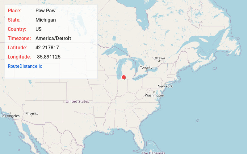
Full AddressPaw Paw, MI 49079
-
Coordinates42.2178171, -85.8911246
-
LocationPaw Paw , Michigan , US
-
TimezoneAmerica/Detroit
-
Current Local Time10:06:06 PM America/DetroitWednesday, June 18, 2025
-
Page Views0
About Paw Paw
Paw Paw is a village in and the county seat of Van Buren County, Michigan. The population was 3,362 as of the 2020 census.


Nearby Places
Found 10 places within 50 miles

Westwood
14.4 mi
23.2 km
Westwood, MI 49006
Get directions

Portage
15.4 mi
24.8 km
Portage, MI
Get directions

Kalamazoo
16.4 mi
26.4 km
Kalamazoo, MI
Get directions

Eastwood
18.4 mi
29.6 km
Eastwood, MI 49048
Get directions

Paw Paw Lake
19.5 mi
31.4 km
Paw Paw Lake, MI
Get directions

Otsego
19.5 mi
31.4 km
Otsego, MI 49078
Get directions

Vicksburg
19.6 mi
31.5 km
Vicksburg, MI 49097
Get directions

Dowagiac
19.6 mi
31.5 km
Dowagiac, MI 49047
Get directions

Plainwell
19.7 mi
31.7 km
Plainwell, MI 49080
Get directions
Comstock Northwest
20.4 mi
32.8 km
Comstock Northwest, MI
Get directions
Location Links
Local Weather
Weather Information
Coming soon!
Location Map
Static map view of Paw Paw, Michigan
Browse Places by Distance
Places within specific distances from Paw Paw
Short Distances
Long Distances
Click any distance to see all places within that range from Paw Paw. Distances shown in miles (1 mile ≈ 1.61 kilometers).