Distance to Otsego, Michigan

Calculating Your Route
Just a moment while we process your request...
Location Information
-
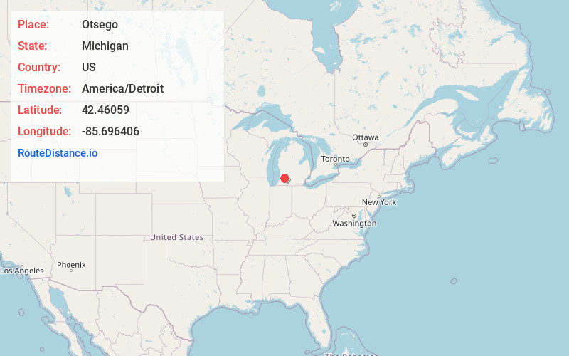
Full AddressOtsego, MI 49078
-
Coordinates42.4605904, -85.696406
-
LocationOtsego , Michigan , US
-
TimezoneAmerica/Detroit
-
Current Local Time7:36:31 PM America/DetroitTuesday, June 3, 2025
-
Page Views0
About Otsego
Otsego is a city in Allegan County in the U.S. state of Michigan. The population was 4,120 at the 2020 census. The city is within Otsego Township, but is administratively autonomous.
Otsego is situated on M-89 about three miles west of Plainwell and US 131.


Nearby Places
Found 10 places within 50 miles

Allegan
9.4 mi
15.1 km
Allegan, MI 49010
Get directions

Westwood
11.9 mi
19.2 km
Westwood, MI 49006
Get directions

Kalamazoo
13.1 mi
21.1 km
Kalamazoo, MI
Get directions

Eastwood
13.2 mi
21.2 km
Eastwood, MI 49048
Get directions
Comstock Northwest
13.3 mi
21.4 km
Comstock Northwest, MI
Get directions

Wayland
15.0 mi
24.1 km
Wayland, MI 49348
Get directions

Dorr Township
18.3 mi
29.5 km
Dorr Township, MI
Get directions

Portage
18.7 mi
30.1 km
Portage, MI
Get directions

Middleville
21.1 mi
34.0 km
Middleville, MI 49333
Get directions

Hastings
24.3 mi
39.1 km
Hastings, MI 49058
Get directions
Location Links
Local Weather
Weather Information
Coming soon!
Location Map
Static map view of Otsego, Michigan
Browse Places by Distance
Places within specific distances from Otsego
Short Distances
Long Distances
Click any distance to see all places within that range from Otsego. Distances shown in miles (1 mile ≈ 1.61 kilometers).