Distance to Gobles, Michigan

Calculating Your Route
Just a moment while we process your request...
Location Information
-
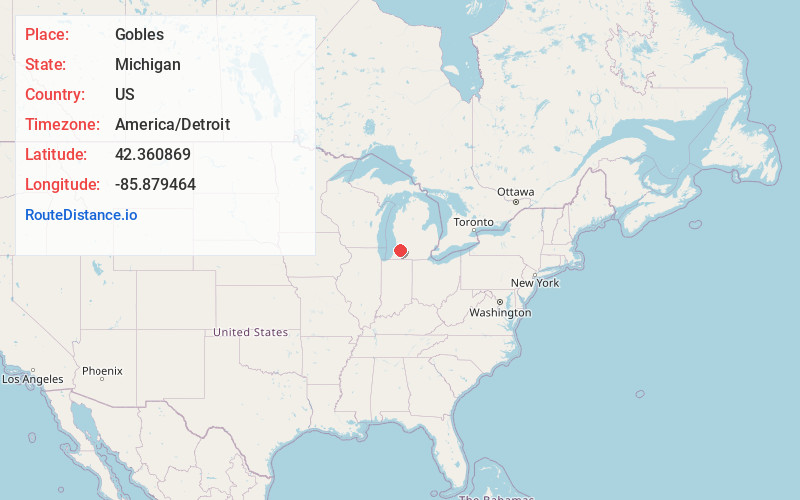
Full AddressGobles, MI 49055
-
Coordinates42.3608691, -85.8794635
-
LocationGobles , Michigan , US
-
TimezoneAmerica/Detroit
-
Current Local Time4:33:03 AM America/DetroitFriday, May 23, 2025
-
Page Views0
About Gobles
Gobles is a city in Van Buren County of the U.S. state of Michigan. As of the 2010 census, the city population was 829. It was originally called Gobleville, after its founders, the Goble family.


Nearby Places
Found 10 places within 50 miles

Paw Paw
9.9 mi
15.9 km
Paw Paw, MI 49079
Get directions

Mattawan
11.5 mi
18.5 km
Mattawan, MI
Get directions

Otsego
11.6 mi
18.7 km
Otsego, MI 49078
Get directions

Allegan
11.7 mi
18.8 km
Allegan, MI 49010
Get directions

Bangor
12.4 mi
20.0 km
Bangor, MI 49013
Get directions

Plainwell
13.0 mi
20.9 km
Plainwell, MI 49080
Get directions

Lawrence
13.1 mi
21.1 km
Lawrence, MI 49064
Get directions

Lawton
13.5 mi
21.7 km
Lawton, MI 49065
Get directions

Westwood
13.5 mi
21.7 km
Westwood, MI 49006
Get directions

Kalamazoo
15.8 mi
25.4 km
Kalamazoo, MI
Get directions
Location Links
Local Weather
Weather Information
Coming soon!
Location Map
Static map view of Gobles, Michigan
Browse Places by Distance
Places within specific distances from Gobles
Short Distances
Long Distances
Click any distance to see all places within that range from Gobles. Distances shown in miles (1 mile ≈ 1.61 kilometers).