Distance to Lawton, Michigan

Calculating Your Route
Just a moment while we process your request...
Location Information
-
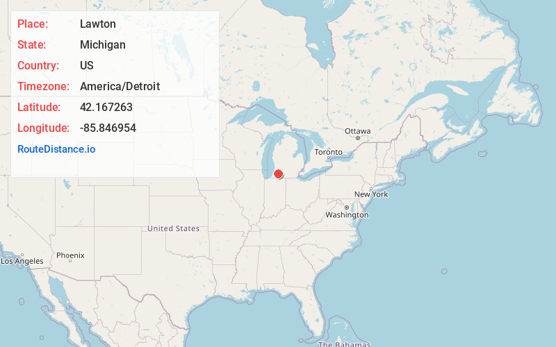
Full AddressLawton, MI 49065
-
Coordinates42.1672629, -85.8469539
-
LocationLawton , Michigan , US
-
TimezoneAmerica/Detroit
-
Current Local Time2:45:02 AM America/DetroitSaturday, June 14, 2025
-
Page Views0
About Lawton
Lawton is a village in southeastern Van Buren County, Michigan, United States. The population was 1,900 at the 2010 census.


Nearby Places
Found 10 places within 50 miles

Paw Paw
4.2 mi
6.8 km
Paw Paw, MI 49079
Get directions

Mattawan
4.3 mi
6.9 km
Mattawan, MI
Get directions

Decatur
7.7 mi
12.4 km
Decatur, MI 49045
Get directions

Portage
13.3 mi
21.4 km
Portage, MI
Get directions

Westwood
14.3 mi
23.0 km
Westwood, MI 49006
Get directions

Kalamazoo
15.8 mi
25.4 km
Kalamazoo, MI
Get directions

Vicksburg
16.4 mi
26.4 km
Vicksburg, MI 49097
Get directions

Hartford
16.6 mi
26.7 km
Hartford, MI 49057
Get directions

Bangor
16.9 mi
27.2 km
Bangor, MI 49013
Get directions

Eastwood
17.8 mi
28.6 km
Eastwood, MI 49048
Get directions
Location Links
Local Weather
Weather Information
Coming soon!
Location Map
Static map view of Lawton, Michigan
Browse Places by Distance
Places within specific distances from Lawton
Short Distances
Long Distances
Click any distance to see all places within that range from Lawton. Distances shown in miles (1 mile ≈ 1.61 kilometers).