Distance to Brentland, Maryland

Calculating Your Route
Just a moment while we process your request...
Location Information
-
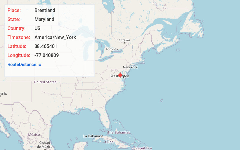
Full AddressBrentland, MD 20677
-
Coordinates38.4654006, -77.0408085
-
LocationMaryland , US
-
TimezoneAmerica/New_York
-
Current Local Time1:18:52 AM America/New_YorkFriday, June 20, 2025
-
Page Views0
Nearby Places
Found 10 places within 50 miles

Potomac Shores
2.0 mi
3.2 km
Potomac Shores, MD 20677
Get directions
McConchie
2.7 mi
4.3 km
McConchie, MD 20677
Get directions
Port Tobacco
3.4 mi
5.5 km
Port Tobacco, MD
Get directions
Faulkner
3.9 mi
6.3 km
Faulkner, MD
Get directions
Hill Top
4.7 mi
7.6 km
Hill Top, MD 20646
Get directions

La Plata
5.7 mi
9.2 km
La Plata, MD 20646
Get directions
Ripley
5.9 mi
9.5 km
Ripley, MD 20646
Get directions
Mt Pisgah
6.1 mi
9.8 km
Mt Pisgah, MD 20646
Get directions
Pomfret
7.5 mi
12.1 km
Pomfret, MD
Get directions
Hooes
7.6 mi
12.2 km
Hooes, VA 22485
Get directions
Location Links
Local Weather
Weather Information
Coming soon!
Location Map
Static map view of Brentland, Maryland
Browse Places by Distance
Places within specific distances from Brentland
Short Distances
Long Distances
Click any distance to see all places within that range from Brentland. Distances shown in miles (1 mile ≈ 1.61 kilometers).