Distance to Brookfield, Georgia

Calculating Your Route
Just a moment while we process your request...
Location Information
-
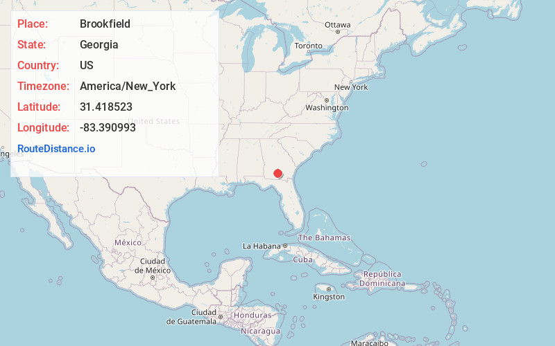
Full AddressBrookfield, GA 31794
-
Coordinates31.4185227, -83.3909933
-
LocationBrookfield , Georgia , US
-
TimezoneAmerica/New_York
-
Current Local Time4:57:23 AM America/New_YorkSunday, June 22, 2025
-
Page Views0
About Brookfield
Brookfield is an unincorporated community in Tift County, Georgia, United States. The community is located along U.S. Route 82, 7.3 miles east-southeast of Tifton. Brookfield has a post office with ZIP code 31727.

Nearby Places
Found 10 places within 50 miles

Vanceville
3.1 mi
5.0 km
Vanceville, GA 31794
Get directions

Enigma
3.7 mi
6.0 km
Enigma, GA 31749
Get directions
Ferry Lake
5.9 mi
9.5 km
Ferry Lake, Tifton, GA 31794
Get directions
Unionville
7.1 mi
11.4 km
Unionville, GA 31794
Get directions

Tifton
7.4 mi
11.9 km
Tifton, GA
Get directions
Phillipsburg
7.7 mi
12.4 km
Phillipsburg, GA 31794
Get directions

Alapaha
10.2 mi
16.4 km
Alapaha, GA 31622
Get directions
Staunton
10.5 mi
16.9 km
Staunton, GA 31637
Get directions

Lenox
11.1 mi
17.9 km
Lenox, GA 31637
Get directions
Pinetta
12.2 mi
19.6 km
Pinetta, GA 31774
Get directions
Location Links
Local Weather
Weather Information
Coming soon!
Location Map
Static map view of Brookfield, Georgia
Browse Places by Distance
Places within specific distances from Brookfield
Short Distances
Long Distances
Click any distance to see all places within that range from Brookfield. Distances shown in miles (1 mile ≈ 1.61 kilometers).