Distance to Brooklyn, Missouri

Calculating Your Route
Just a moment while we process your request...
Location Information
-
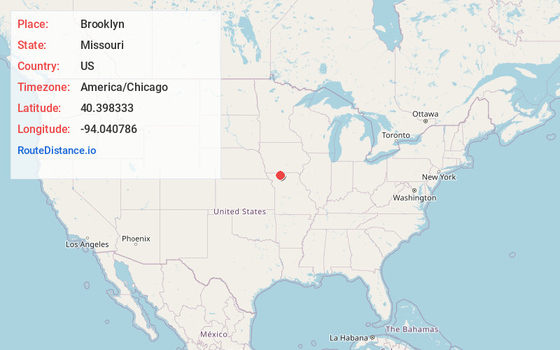
Full AddressBrooklyn, Union Township, MO 64442
-
Coordinates40.3983327, -94.0407858
-
LocationUnion Township , Missouri , US
-
TimezoneAmerica/Chicago
-
Current Local Time4:07:07 PM America/ChicagoWednesday, June 18, 2025
-
Page Views0
About Brooklyn
Brooklyn is an unincorporated community in west central Harrison County, Missouri, United States.
The community is at the confluence of Shain Creek and the West Fork Big Creek. It is at the end of Missouri Route Z approximately two miles west of US Route 69 and five miles west of the community of Ridgeway.
Nearby Places
Found 10 places within 50 miles

Ridgeway
5.6 mi
9.0 km
Ridgeway, MO 64481
Get directions

Eagleville
5.6 mi
9.0 km
Eagleville, MO 64442
Get directions

Blythedale
8.0 mi
12.9 km
Blythedale, MO 64426
Get directions

Bethany
9.0 mi
14.5 km
Bethany, MO 64424
Get directions
Hatfield
10.8 mi
17.4 km
Hatfield, MO 64458
Get directions
New Hampton
12.4 mi
20.0 km
New Hampton, MO 64471
Get directions

Mt Moriah
13.8 mi
22.2 km
Mt Moriah, MO 64481
Get directions

Cainsville
14.2 mi
22.9 km
Cainsville, MO 64632
Get directions
Allendale
14.4 mi
23.2 km
Allendale, MO
Get directions
Denver
14.8 mi
23.8 km
Denver, MO 64441
Get directions
Location Links
Local Weather
Weather Information
Coming soon!
Location Map
Static map view of Brooklyn, Missouri
Browse Places by Distance
Places within specific distances from Brooklyn
Short Distances
Long Distances
Click any distance to see all places within that range from Brooklyn. Distances shown in miles (1 mile ≈ 1.61 kilometers).