Distance to Brownlee, Nebraska

Calculating Your Route
Just a moment while we process your request...
Location Information
-
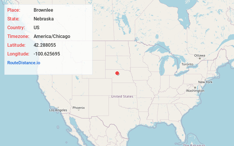
Full AddressBrownlee, NE 69166
-
Coordinates42.2880549, -100.6256949
-
LocationBrownlee , Nebraska , US
-
TimezoneAmerica/Chicago
-
Current Local Time6:46:53 PM America/ChicagoThursday, June 19, 2025
-
Page Views0
About Brownlee
Brownlee is an unincorporated community and census-designated place in Cherry County, Nebraska, United States. As of the 2010 census it had a population of 15. It is located on the North Loup River, 5 miles west of U.S. Route 83 in the Sandhills region of the state.
Nearby Places
Found 10 places within 50 miles

Seneca
20.0 mi
32.2 km
Seneca, NE 69161
Get directions

Thedford
21.6 mi
34.8 km
Thedford, NE 69166
Get directions

Mullen
27.3 mi
43.9 km
Mullen, NE 69152
Get directions
Wood Lake
31.3 mi
50.4 km
Wood Lake, NE 69221
Get directions

Halsey
32.3 mi
52.0 km
Halsey, NE
Get directions
Johnstown
35.0 mi
56.3 km
Johnstown, NE 69214
Get directions

Valentine
40.6 mi
65.3 km
Valentine, NE 69201
Get directions
Dunning
41.6 mi
66.9 km
Dunning, NE 68833
Get directions

Ainsworth
42.8 mi
68.9 km
Ainsworth, NE 69210
Get directions
Crookston
44.7 mi
71.9 km
Crookston, NE 69212
Get directions
Location Links
Local Weather
Weather Information
Coming soon!
Location Map
Static map view of Brownlee, Nebraska
Browse Places by Distance
Places within specific distances from Brownlee
Short Distances
Long Distances
Click any distance to see all places within that range from Brownlee. Distances shown in miles (1 mile ≈ 1.61 kilometers).