Distance to Browns, Iowa

Calculating Your Route
Just a moment while we process your request...
Location Information
-
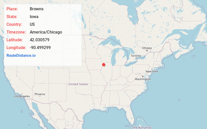
Full AddressBrowns, IA 52731
-
Coordinates42.0305794, -90.4992992
-
LocationIowa , US
-
TimezoneAmerica/Chicago
-
Current Local Time7:10:11 PM America/ChicagoTuesday, June 3, 2025
-
Page Views0
Nearby Places
Found 10 places within 50 miles

Spragueville
4.4 mi
7.1 km
Spragueville, IA
Get directions
Charlotte
5.2 mi
8.4 km
Charlotte, IA 52731
Get directions
Preston
5.5 mi
8.9 km
Preston, IA 52069
Get directions

Delmar
5.9 mi
9.5 km
Delmar, IA
Get directions
Goose Lake
7.4 mi
11.9 km
Goose Lake, IA 52750
Get directions

Maquoketa
8.9 mi
14.3 km
Maquoketa, IA
Get directions
Springbrook
9.3 mi
15.0 km
Springbrook, IA 52031
Get directions
Miles
9.5 mi
15.3 km
Miles, IA 52064
Get directions
Andrew
9.7 mi
15.6 km
Andrew, IA 52060
Get directions

Welton
9.8 mi
15.8 km
Welton, IA
Get directions
Location Links
Local Weather
Weather Information
Coming soon!
Location Map
Static map view of Browns, Iowa
Browse Places by Distance
Places within specific distances from Browns
Short Distances
Long Distances
Click any distance to see all places within that range from Browns. Distances shown in miles (1 mile ≈ 1.61 kilometers).