Distance to Brownsmead, Oregon

Calculating Your Route
Just a moment while we process your request...
Location Information
-
Full AddressBrownsmead, OR 97103
-
Coordinates46.21778, -123.53944
-
LocationBrownsmead , Oregon , US
-
TimezoneAmerica/Los_Angeles
-
Current Local Time9:10:50 PM America/Los_AngelesSaturday, May 24, 2025
-
Page Views0
About Brownsmead
Brownsmead is an unincorporated community, on a distributary of the Columbia River called Saspal Slough, in Clatsop County, Oregon, United States. Previously known as Brody, it was named after W.G. Brown, a Portland engineer involved in land reclamation in the area.


Nearby Places
Found 10 places within 50 miles

Knappa
3.1 mi
5.0 km
Knappa, OR 97103
Get directions

Clifton
3.7 mi
6.0 km
Clifton, OR 97103
Get directions
Bradwood
5.0 mi
8.0 km
Bradwood, OR 97016
Get directions
Puget Island Range
5.5 mi
8.9 km
Puget Island Range, Washington 98612
Get directions

Skamokawa Valley
6.5 mi
10.5 km
Skamokawa Valley, WA
Get directions

Altoona
6.5 mi
10.5 km
Altoona, WA 98643
Get directions

Svensen
6.5 mi
10.5 km
Svensen, OR 97103
Get directions

Cathlamet
7.5 mi
12.1 km
Cathlamet, WA 98612
Get directions

Wauna
7.6 mi
12.2 km
Wauna, OR 97016
Get directions
Lower Elochoman
8.2 mi
13.2 km
Lower Elochoman, WA 98612
Get directions
Location Links
Local Weather
Weather Information
Coming soon!
Location Map
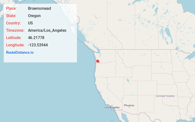
Static map view of Brownsmead, Oregon
Browse Places by Distance
Places within specific distances from Brownsmead
Short Distances
Long Distances
Click any distance to see all places within that range from Brownsmead. Distances shown in miles (1 mile ≈ 1.61 kilometers).