Distance to Clifton, Oregon

Calculating Your Route
Just a moment while we process your request...
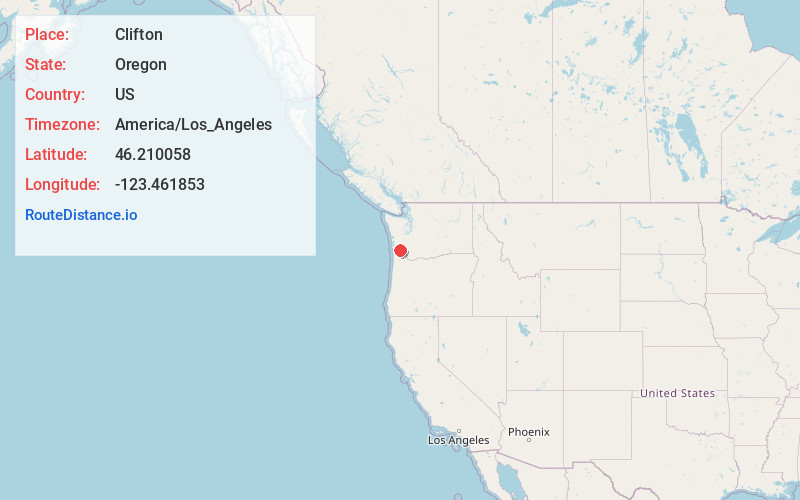
Location Information
-
Full AddressClifton, OR 97103
-
Coordinates46.2100579, -123.461853
-
LocationClifton , Oregon , US
-
TimezoneAmerica/Los_Angeles
-
Current Local Time4:08:51 PM America/Los_AngelesWednesday, June 4, 2025
-
Page Views0
About Clifton
Clifton is an unincorporated community in Clatsop County, Oregon, United States. It is located north of U.S. Route 30, about nine miles northwest of Westport on the south bank of the Columbia River. It is on Clifton Channel across from Tenasillahe Island.
Nearby Places
Found 10 places within 50 miles

Puget Island Range
1.8 mi
2.9 km
Puget Island Range, Washington 98612
Get directions

Cathlamet
3.8 mi
6.1 km
Cathlamet, WA 98612
Get directions
Lower Elochoman
4.5 mi
7.2 km
Lower Elochoman, WA 98612
Get directions

East Cathlamet
4.6 mi
7.4 km
East Cathlamet, WA 98612
Get directions

Knappa
6.1 mi
9.8 km
Knappa, OR 97103
Get directions

Westport
6.8 mi
10.9 km
Westport, OR 97016
Get directions
Upper Elochoman
7.1 mi
11.4 km
Upper Elochoman, WA 98612
Get directions

Kerry
8.1 mi
13.0 km
Kerry, OR 97016
Get directions

Svensen
9.8 mi
15.8 km
Svensen, OR 97103
Get directions

Altoona
10.1 mi
16.3 km
Altoona, WA 98643
Get directions
Location Links
Local Weather
Weather Information
Coming soon!
Location Map
Static map view of Clifton, Oregon
Browse Places by Distance
Places within specific distances from Clifton
Short Distances
Long Distances
Click any distance to see all places within that range from Clifton. Distances shown in miles (1 mile ≈ 1.61 kilometers).