Distance to Brownstown, Washington

Calculating Your Route
Just a moment while we process your request...
Location Information
-
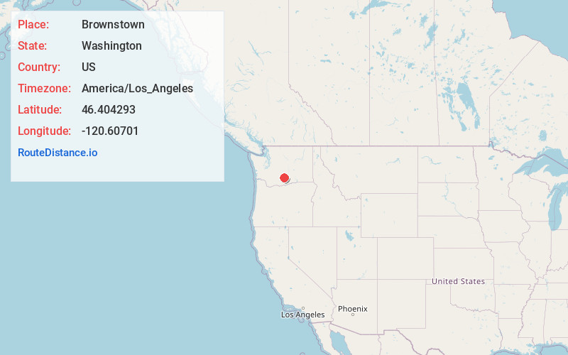
Full AddressBrownstown, WA 98933
-
Coordinates46.4042932, -120.6070099
-
LocationBrownstown , Washington , US
-
TimezoneAmerica/Los_Angeles
-
Current Local Time12:48:13 AM America/Los_AngelesWednesday, June 18, 2025
-
Page Views0
About Brownstown
Brownstown is an unincorporated community in Yakima County, Washington, United States. Brownstown is 3 miles west of Harrah. Brownstown has a post office with ZIP code 98920.
It is a loosely-knit farming community within the Yakama Nation Reservation approximately halfway between Wapato and White Swan.


Nearby Places
Found 10 places within 50 miles

Rupple
1.2 mi
1.9 km
Rupple, WA 98933
Get directions

Harrah
3.0 mi
4.8 km
Harrah, WA
Get directions
Farron
4.1 mi
6.6 km
Farron, WA 98951
Get directions
Venner
5.0 mi
8.0 km
Venner, WA 98951
Get directions

White Swan
6.1 mi
9.8 km
White Swan, WA
Get directions

Wapato
9.4 mi
15.1 km
Wapato, WA 98951
Get directions
Yethonat
10.0 mi
16.1 km
Yethonat, WA 98948
Get directions

Ahtanum
10.8 mi
17.4 km
Ahtanum, WA
Get directions
Donald
11.2 mi
18.0 km
Donald, WA 98951
Get directions
Sawyer
12.2 mi
19.6 km
Sawyer, WA 98951
Get directions
Location Links
Local Weather
Weather Information
Coming soon!
Location Map
Static map view of Brownstown, Washington
Browse Places by Distance
Places within specific distances from Brownstown
Short Distances
Long Distances
Click any distance to see all places within that range from Brownstown. Distances shown in miles (1 mile ≈ 1.61 kilometers).