Distance to Brownton, West Virginia

Calculating Your Route
Just a moment while we process your request...
Location Information
-
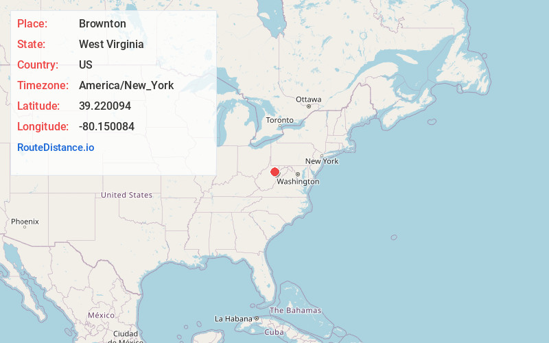
Full AddressBrownton, WV 26330
-
Coordinates39.2200937, -80.1500839
-
LocationBrownton , West Virginia , US
-
TimezoneAmerica/New_York
-
Current Local Time11:40:29 PM America/New_YorkThursday, June 19, 2025
-
Page Views0
About Brownton
Brownton is an unincorporated community and coal town in Barbour County, West Virginia, United States. Brownton is located along County Route 16, 3.35 miles south-southwest of Flemington. Brownton had a post office, which closed on January 24, 2004.
Nearby Places
Found 10 places within 50 miles

Bear Mountain
0.9 mi
1.4 km
Bear Mountain, WV 26330
Get directions
Astor
1.5 mi
2.4 km
Astor, WV 26330
Get directions
Galloway
1.7 mi
2.7 km
Galloway, WV 26416
Get directions
Flemington
3.3 mi
5.3 km
Flemington, WV 26330
Get directions
Rosemont
3.4 mi
5.5 km
Rosemont, WV 26330
Get directions
Adaland
4.0 mi
6.4 km
Adaland, WV 26416
Get directions
Oral Lake
5.2 mi
8.4 km
Oral Lake, WV 26330
Get directions
Romines Mills
7.0 mi
11.3 km
Romines Mills, WV 26301
Get directions
Peeltree
7.0 mi
11.3 km
Peeltree, WV 26201
Get directions
Craigmoor
7.2 mi
11.6 km
Craigmoor, WV 26301
Get directions
Location Links
Local Weather
Weather Information
Coming soon!
Location Map
Static map view of Brownton, West Virginia
Browse Places by Distance
Places within specific distances from Brownton
Short Distances
Long Distances
Click any distance to see all places within that range from Brownton. Distances shown in miles (1 mile ≈ 1.61 kilometers).