Distance to Peeltree, West Virginia

Calculating Your Route
Just a moment while we process your request...
Location Information
-
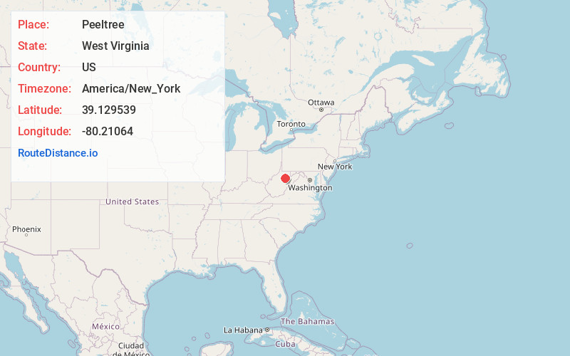
Full AddressPeeltree, WV 26201
-
Coordinates39.1295394, -80.21064
-
LocationWest Virginia , US
-
TimezoneAmerica/New_York
-
Current Local Time5:07:43 AM America/New_YorkMonday, June 16, 2025
-
Page Views0
About Peeltree
Peeltree — formerly Scoop Town, then Peel Tree — is an unincorporated community in Barbour County, West Virginia, United States.
The community takes its name from the nearby Peeltree Run.
Nearby Places
Found 10 places within 50 miles

Century
2.4 mi
3.9 km
Century, WV 26201
Get directions

Lost Creek
7.9 mi
12.7 km
Lost Creek, WV 26385
Get directions
Galloway
8.5 mi
13.7 km
Galloway, WV 26416
Get directions

Philippi
9.3 mi
15.0 km
Philippi, WV 26416
Get directions

Buckhannon
9.4 mi
15.1 km
Buckhannon, WV 26201
Get directions

Anmoore
9.8 mi
15.8 km
Anmoore, WV
Get directions

Stonewood
10.0 mi
16.1 km
Stonewood, WV 26301
Get directions
Flemington
10.4 mi
16.7 km
Flemington, WV 26330
Get directions

Jane Lew
10.6 mi
17.1 km
Jane Lew, WV 26378
Get directions

Nutter Fort
10.9 mi
17.5 km
Nutter Fort, WV 26301
Get directions
Location Links
Local Weather
Weather Information
Coming soon!
Location Map
Static map view of Peeltree, West Virginia
Browse Places by Distance
Places within specific distances from Peeltree
Short Distances
Long Distances
Click any distance to see all places within that range from Peeltree. Distances shown in miles (1 mile ≈ 1.61 kilometers).