Distance to Broxton, Oklahoma

Calculating Your Route
Just a moment while we process your request...
Location Information
-
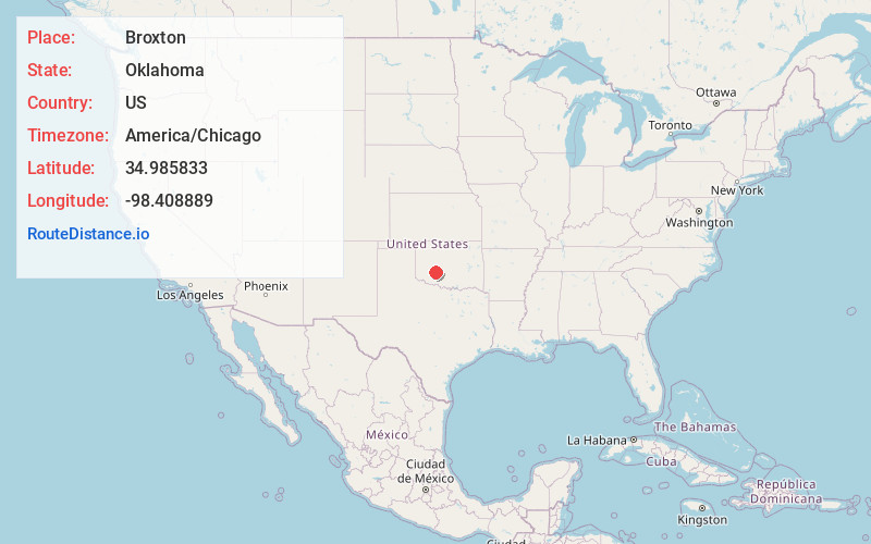
Full AddressBroxton, OK 73006
-
Coordinates34.985833, -98.408889
-
LocationBroxton , Oklahoma , US
-
TimezoneAmerica/Chicago
-
Current Local Time5:11:36 PM America/ChicagoWednesday, June 18, 2025
-
Page Views0
About Broxton
Broxton is an unincorporated community in Caddo County, Oklahoma, United States.
It was originally intended to form an actual town with 50 town lots.
Nearby Places
Found 10 places within 50 miles

Apache Wye
5.0 mi
8.0 km
Apache Wye, OK 73005
Get directions

Stecker
5.6 mi
9.0 km
Stecker, OK 73006
Get directions

Apache
6.8 mi
10.9 km
Apache, OK 73006
Get directions

Fort Cobb
7.9 mi
12.7 km
Fort Cobb, OK
Get directions

Squaretop
8.7 mi
14.0 km
Squaretop, OK 73005
Get directions

Washita
9.0 mi
14.5 km
Washita, OK 73005
Get directions
Alden
10.0 mi
16.1 km
Alden, OK 73015
Get directions

Lake Ellsworth
10.1 mi
16.3 km
Lake Ellsworth, Oklahoma
Get directions

Anadarko
11.1 mi
17.9 km
Anadarko, OK 73005
Get directions

Nowhere
12.1 mi
19.5 km
Nowhere, OK 73038
Get directions
Location Links
Local Weather
Weather Information
Coming soon!
Location Map
Static map view of Broxton, Oklahoma
Browse Places by Distance
Places within specific distances from Broxton
Short Distances
Long Distances
Click any distance to see all places within that range from Broxton. Distances shown in miles (1 mile ≈ 1.61 kilometers).