Distance to Stecker, Oklahoma

Calculating Your Route
Just a moment while we process your request...
Location Information
-
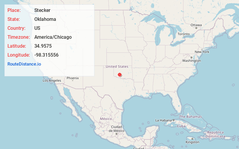
Full AddressStecker, OK 73006
-
Coordinates34.9575, -98.315556
-
LocationStecker , Oklahoma , US
-
TimezoneAmerica/Chicago
-
Current Local Time10:25:58 AM America/ChicagoWednesday, June 18, 2025
-
Page Views0
About Stecker
Stecker is an unincorporated community in Caddo County, Oklahoma, United States, located 5 miles northeast of Apache. Stecker is old enough to appear on a 1911 Rand McNally map of the county, situated along the route of the old Rock Island railway.


Nearby Places
Found 10 places within 50 miles

Apache
5.3 mi
8.5 km
Apache, OK 73006
Get directions

Apache Wye
6.4 mi
10.3 km
Apache Wye, OK 73005
Get directions

Cyril
7.8 mi
12.6 km
Cyril, OK 73029
Get directions

Lake Ellsworth
8.1 mi
13.0 km
Lake Ellsworth, Oklahoma
Get directions

Anadarko
8.9 mi
14.3 km
Anadarko, OK 73005
Get directions

Cement
10.1 mi
16.3 km
Cement, OK 73017
Get directions

Fletcher
10.1 mi
16.3 km
Fletcher, OK 73541
Get directions

Washita
10.1 mi
16.3 km
Washita, OK 73005
Get directions

Fort Cobb
11.8 mi
19.0 km
Fort Cobb, OK
Get directions

Elgin
12.3 mi
19.8 km
Elgin, OK 73538
Get directions
Location Links
Local Weather
Weather Information
Coming soon!
Location Map
Static map view of Stecker, Oklahoma
Browse Places by Distance
Places within specific distances from Stecker
Short Distances
Long Distances
Click any distance to see all places within that range from Stecker. Distances shown in miles (1 mile ≈ 1.61 kilometers).