Distance to Fletcher, Oklahoma

Calculating Your Route
Just a moment while we process your request...
Location Information
-
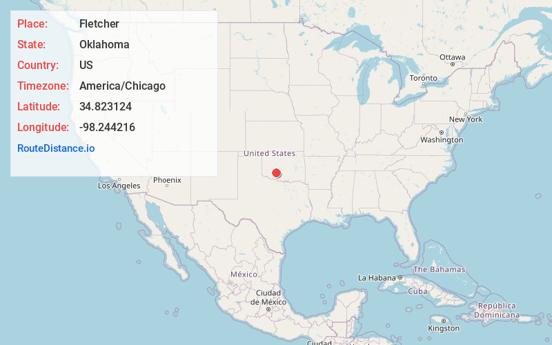
Full AddressFletcher, OK 73541
-
Coordinates34.8231239, -98.2442162
-
LocationFletcher , Oklahoma , US
-
TimezoneAmerica/Chicago
-
Current Local Time4:19:43 PM America/ChicagoWednesday, June 18, 2025
-
Page Views0
About Fletcher
Fletcher is a town in Comanche County, Oklahoma, United States. The population was 1,177 at the 2010 census. It is included in the Lawton, Oklahoma Metropolitan Statistical Area.


Nearby Places
Found 10 places within 50 miles

Elgin
4.0 mi
6.4 km
Elgin, OK 73538
Get directions

Rush Springs
16.5 mi
26.6 km
Rush Springs, OK 73082
Get directions

Central High
17.2 mi
27.7 km
Central High, OK
Get directions

Anadarko
17.2 mi
27.7 km
Anadarko, OK 73005
Get directions

Lawton
17.4 mi
28.0 km
Lawton, OK
Get directions

Marlow
20.3 mi
32.7 km
Marlow, OK 73055
Get directions

Chickasha
23.6 mi
38.0 km
Chickasha, OK
Get directions

Geronimo
24.9 mi
40.1 km
Geronimo, OK 73543
Get directions

Cache
25.6 mi
41.2 km
Cache, OK 73527
Get directions

Duncan
27.5 mi
44.3 km
Duncan, OK
Get directions
Location Links
Local Weather
Weather Information
Coming soon!
Location Map
Static map view of Fletcher, Oklahoma
Browse Places by Distance
Places within specific distances from Fletcher
Short Distances
Long Distances
Click any distance to see all places within that range from Fletcher. Distances shown in miles (1 mile ≈ 1.61 kilometers).