Distance to Bruin, Kentucky

Calculating Your Route
Just a moment while we process your request...
Location Information
-
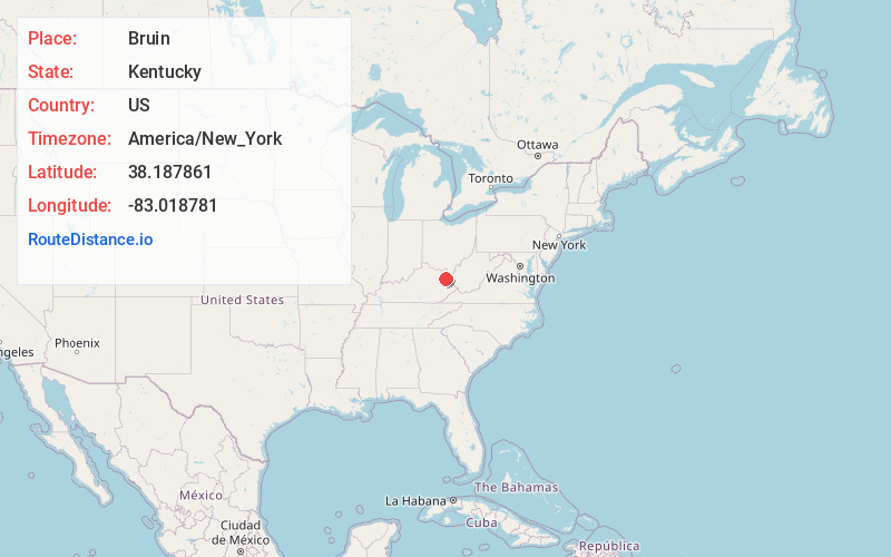
Full AddressBruin, KY 41164
-
Coordinates38.187861, -83.0187808
-
LocationBruin , Kentucky , US
-
TimezoneAmerica/New_York
-
Current Local Time3:09:55 AM America/New_YorkThursday, June 19, 2025
-
Page Views0
About Bruin
Bruin is an unincorporated community in Elliott County, Kentucky, United States. It lies along Kentucky routes 7 and 409 just south of Grayson Lake State Park. Bruin is northeast of the county seat, Sandy Hook. Its elevation is 689 feet.
Nearby Places
Found 10 places within 50 miles

Dobbins
5.3 mi
8.5 km
Dobbins, KY 41180
Get directions
Dewdrop
7.2 mi
11.6 km
Dewdrop, KY 41171
Get directions
Gollihue
8.3 mi
13.4 km
Gollihue, KY 41143
Get directions
Fairview Hill
8.6 mi
13.8 km
Fairview Hill, KY 41143
Get directions

Sandy Hook
9.1 mi
14.6 km
Sandy Hook, KY 41171
Get directions

Grayson
10.7 mi
17.2 km
Grayson, KY 41143
Get directions
Mazie
11.4 mi
18.3 km
Mazie, KY 41159
Get directions
Roscoe
11.4 mi
18.3 km
Roscoe, KY 41171
Get directions

Olive Hill
11.5 mi
18.5 km
Olive Hill, KY 41164
Get directions
Bascom
12.8 mi
20.6 km
Bascom, KY 41171
Get directions
Location Links
Local Weather
Weather Information
Coming soon!
Location Map
Static map view of Bruin, Kentucky
Browse Places by Distance
Places within specific distances from Bruin
Short Distances
Long Distances
Click any distance to see all places within that range from Bruin. Distances shown in miles (1 mile ≈ 1.61 kilometers).