Distance to Buffalo, Montana

Calculating Your Route
Just a moment while we process your request...
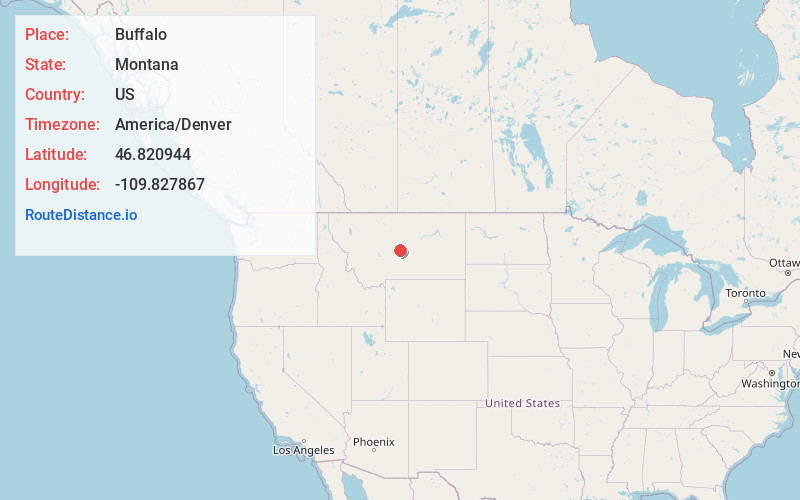
Location Information
-
Full AddressBuffalo, MT 59418
-
Coordinates46.8209442, -109.8278672
-
LocationBuffalo , Montana , US
-
TimezoneAmerica/Denver
-
Current Local Time6:50:43 PM America/DenverThursday, May 29, 2025
-
Page Views0
About Buffalo
Buffalo is an unincorporated rural hamlet in Fergus County, Montana, United States. Buffalo has a church, a post office serving ZIP code 59418, no other businesses or services, and only perhaps half a dozen homes. It was named for the buffalo which roamed this area.
The post office was established in 1890.


Nearby Places
Found 10 places within 50 miles

McClave
2.7 mi
4.3 km
McClave, MT 59418
Get directions

Garneill
5.9 mi
9.5 km
Garneill, MT 59453
Get directions
Sipple
7.7 mi
12.4 km
Sipple, MT 59464
Get directions
Hauck
9.6 mi
15.4 km
Hauck, MT 59452
Get directions

Judith Gap
10.6 mi
17.1 km
Judith Gap, MT 59453
Get directions

Moore
12.3 mi
19.8 km
Moore, MT 59464
Get directions

Hobson
12.6 mi
20.3 km
Hobson, MT 59452
Get directions
Jellison Place
15.4 mi
24.8 km
Jellison Place, MT 59036
Get directions

Utica
16.1 mi
25.9 km
Utica, MT 59452
Get directions

Moccasin
16.5 mi
26.6 km
Moccasin, MT 59462
Get directions
Location Links
Local Weather
Weather Information
Coming soon!
Location Map
Static map view of Buffalo, Montana
Browse Places by Distance
Places within specific distances from Buffalo
Short Distances
Long Distances
Click any distance to see all places within that range from Buffalo. Distances shown in miles (1 mile ≈ 1.61 kilometers).