Distance to Buffalo, Ohio

Calculating Your Route
Just a moment while we process your request...
Location Information
-
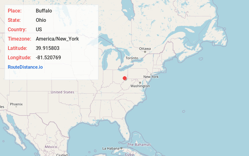
Full AddressBuffalo, OH
-
Coordinates39.9158025, -81.5207692
-
LocationBuffalo , Ohio , US
-
TimezoneAmerica/New_York
-
Current Local Time7:26:24 AM America/New_YorkMonday, June 30, 2025
-
Page Views0
About Buffalo
Buffalo is an unincorporated community and census-designated place in eastern Valley Township, Guernsey County, Ohio, United States. As of the 2020 census it had a population of 373. It has a post office with the ZIP code 43722. It lies along State Route 313.


Nearby Places
Found 10 places within 50 miles

Byesville
3.8 mi
6.1 km
Byesville, OH 43723
Get directions

Cambridge
8.3 mi
13.4 km
Cambridge, OH 43725
Get directions

Caldwell
11.6 mi
18.7 km
Caldwell, OH 43724
Get directions

New Concord
12.5 mi
20.1 km
New Concord, OH 43762
Get directions

Barnesville
18.9 mi
30.4 km
Barnesville, OH 43713
Get directions

Duncan Falls
20.8 mi
33.5 km
Duncan Falls, OH 43734
Get directions
Philo
20.8 mi
33.5 km
Philo, OH 43771
Get directions
Pleasant Grove
23.4 mi
37.7 km
Pleasant Grove, OH 43701
Get directions

Woodsfield
24.0 mi
38.6 km
Woodsfield, OH 43793
Get directions
Bethesda
24.7 mi
39.8 km
Bethesda, OH 43719
Get directions
Location Links
Local Weather
Weather Information
Coming soon!
Location Map
Static map view of Buffalo, Ohio
Browse Places by Distance
Places within specific distances from Buffalo
Short Distances
Long Distances
Click any distance to see all places within that range from Buffalo. Distances shown in miles (1 mile ≈ 1.61 kilometers).