Distance to Buford, Ohio

Calculating Your Route
Just a moment while we process your request...
Location Information
-
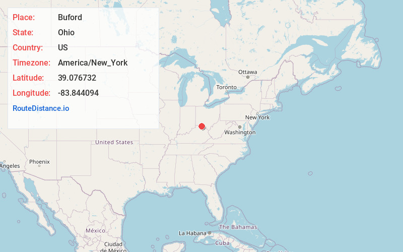
Full AddressBuford, OH
-
Coordinates39.0767322, -83.8440941
-
LocationBuford , Ohio , US
-
TimezoneAmerica/New_York
-
Current Local Time1:22:49 PM America/New_YorkThursday, May 29, 2025
-
Page Views0
About Buford
Buford is an unincorporated community and census-designated place in central Clay Township, Highland County, Ohio, United States. The population was 306 at the 2020 census. It once had a post office, with the ZIP code 45110. The current ZIP code 45171 is for nearby Sardinia.
Nearby Places
Found 10 places within 50 miles

Sardinia
5.1 mi
8.2 km
Sardinia, OH 45171
Get directions

Mt Orab
5.3 mi
8.5 km
Mt Orab, OH
Get directions

Mowrystown
5.8 mi
9.3 km
Mowrystown, OH
Get directions

Lake Lorelei
10.0 mi
16.1 km
Lake Lorelei, OH 45118
Get directions
Williamsburg
11.3 mi
18.2 km
Williamsburg, OH
Get directions

Lynchburg
11.7 mi
18.8 km
Lynchburg, OH 45142
Get directions

Hamersville
13.3 mi
21.4 km
Hamersville, OH 45130
Get directions
Winchester
14.0 mi
22.5 km
Winchester, OH 45697
Get directions

Russellville
14.9 mi
24.0 km
Russellville, OH 45168
Get directions

Bethel
14.9 mi
24.0 km
Bethel, OH 45106
Get directions
Location Links
Local Weather
Weather Information
Coming soon!
Location Map
Static map view of Buford, Ohio
Browse Places by Distance
Places within specific distances from Buford
Short Distances
Long Distances
Click any distance to see all places within that range from Buford. Distances shown in miles (1 mile ≈ 1.61 kilometers).