Distance to Winchester, Ohio

Calculating Your Route
Just a moment while we process your request...
Location Information
-
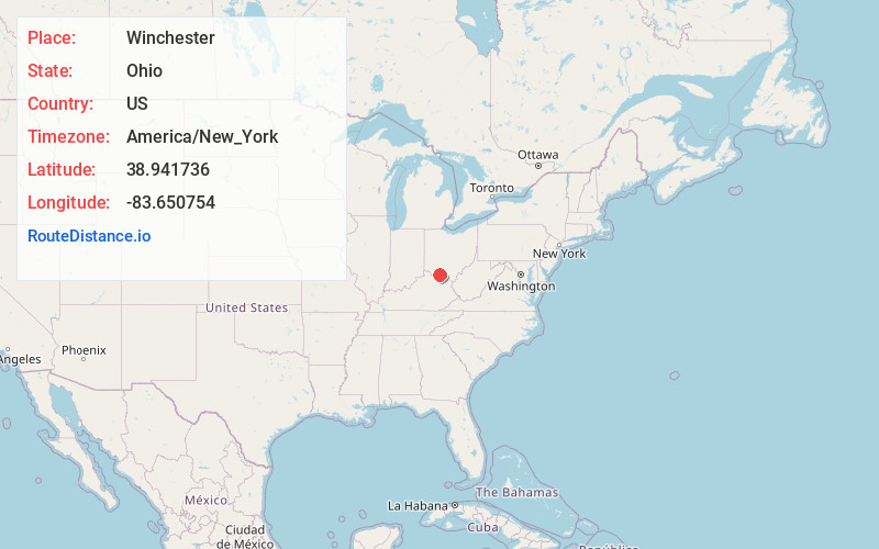
Full AddressWinchester, OH 45697
-
Coordinates38.9417359, -83.6507541
-
LocationWinchester , Ohio , US
-
TimezoneAmerica/New_York
-
Current Local Time9:28:21 AM America/New_YorkMonday, June 2, 2025
-
Page Views0
About Winchester
Winchester is a village in Adams County, Ohio, United States. The population was 987 at the 2020 census. The name of the surrounding township is also named Winchester.
State Route 136 passes through Winchester. Winchester is adjacent to Ohio State Route 32, a four lane divided highway known as the Appalachian Highway.
Nearby Places
Found 10 places within 50 miles

Sardinia
9.6 mi
15.4 km
Sardinia, OH 45171
Get directions

West Union
11.7 mi
18.8 km
West Union, OH 45693
Get directions

Peebles
13.2 mi
21.2 km
Peebles, OH 45660
Get directions

Georgetown
14.6 mi
23.5 km
Georgetown, OH 45121
Get directions

Mt Orab
15.6 mi
25.1 km
Mt Orab, OH
Get directions

Ripley
17.1 mi
27.5 km
Ripley, OH 45167
Get directions

Manchester
17.7 mi
28.5 km
Manchester, OH 45144
Get directions

Hillsboro
18.1 mi
29.1 km
Hillsboro, OH 45133
Get directions

Aberdeen
20.6 mi
33.2 km
Aberdeen, OH 45101
Get directions

Maysville
21.4 mi
34.4 km
Maysville, KY 41056
Get directions
Location Links
Local Weather
Weather Information
Coming soon!
Location Map
Static map view of Winchester, Ohio
Browse Places by Distance
Places within specific distances from Winchester
Short Distances
Long Distances
Click any distance to see all places within that range from Winchester. Distances shown in miles (1 mile ≈ 1.61 kilometers).