Distance to Ripley, Ohio

Calculating Your Route
Just a moment while we process your request...
Location Information
-
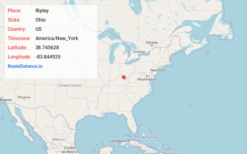
Full AddressRipley, OH 45167
-
Coordinates38.7456277, -83.8449245
-
LocationRipley , Ohio , US
-
TimezoneAmerica/New_York
-
Current Local Time2:58:37 AM America/New_YorkSunday, June 1, 2025
-
Website
-
Page Views0
About Ripley
Ripley is a village in Union Township, Brown County, Ohio, United States, along the Ohio River 50 miles southeast of Cincinnati. The population was 1,591 at the 2020 census.


Nearby Places
Found 10 places within 50 miles

Georgetown
8.8 mi
14.2 km
Georgetown, OH 45121
Get directions

Augusta
8.9 mi
14.3 km
Augusta, KY 41002
Get directions

Maysville
9.0 mi
14.5 km
Maysville, KY 41056
Get directions

Manchester
13.6 mi
21.9 km
Manchester, OH 45144
Get directions

West Union
16.5 mi
26.6 km
West Union, OH 45693
Get directions

Bethel
19.7 mi
31.7 km
Bethel, OH 45106
Get directions

Mt Orab
19.9 mi
32.0 km
Mt Orab, OH
Get directions

Flemingsburg
23.1 mi
37.2 km
Flemingsburg, KY 41041
Get directions

Williamsburg
24.1 mi
38.8 km
Williamsburg, OH
Get directions

Falmouth
26.6 mi
42.8 km
Falmouth, KY 41040
Get directions
Location Links
Local Weather
Weather Information
Coming soon!
Location Map
Static map view of Ripley, Ohio
Browse Places by Distance
Places within specific distances from Ripley
Short Distances
Long Distances
Click any distance to see all places within that range from Ripley. Distances shown in miles (1 mile ≈ 1.61 kilometers).