Distance to Bull Creek, California

Calculating Your Route
Just a moment while we process your request...
Location Information
-
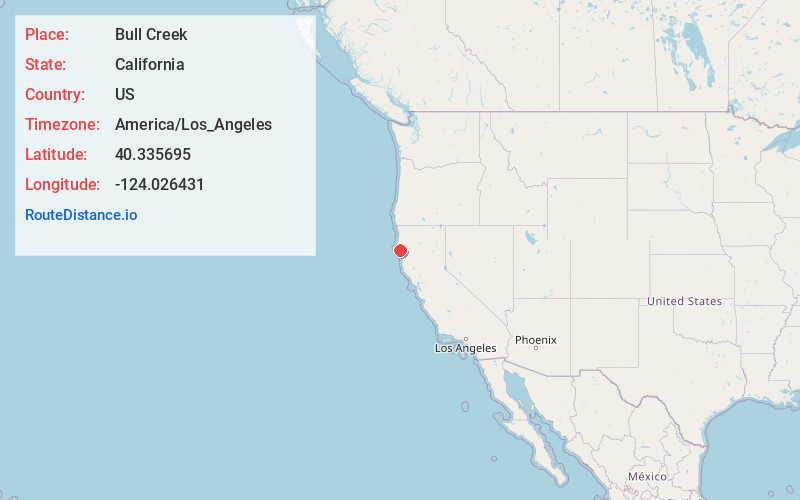
Full AddressBull Creek, CA 95545
-
Coordinates40.3356945, -124.0264313
-
LocationBull Creek , California , US
-
TimezoneAmerica/Los_Angeles
-
Current Local Time1:24:41 PM America/Los_AngelesMonday, June 30, 2025
-
Page Views0
About Bull Creek
Bull Creek is a locality 11 miles south-southeast of Scotia, at an elevation of 7 feet in Humboldt County, California. Bull Creek Road parallels Bull Creek and is also known as the Mattole Road.
Nearby Places
Found 10 places within 50 miles

Weott
5.6 mi
9.0 km
Weott, CA 95571
Get directions

Redcrest
6.0 mi
9.7 km
Redcrest, CA 95569
Get directions

Shively
7.2 mi
11.6 km
Shively, CA 95565
Get directions

Pepperwood
7.8 mi
12.6 km
Pepperwood, CA 95565
Get directions

Myers Flat
9.5 mi
15.3 km
Myers Flat, CA 95554
Get directions
McCann
10.1 mi
16.3 km
McCann, CA 95554
Get directions

Scotia
11.0 mi
17.7 km
Scotia, CA
Get directions

Rio Dell
12.1 mi
19.5 km
Rio Dell, CA
Get directions
Whitlow
12.2 mi
19.6 km
Whitlow, CA 95554
Get directions

Miranda
12.7 mi
20.4 km
Miranda, CA
Get directions
Location Links
Local Weather
Weather Information
Coming soon!
Location Map
Static map view of Bull Creek, California
Browse Places by Distance
Places within specific distances from Bull Creek
Short Distances
Long Distances
Click any distance to see all places within that range from Bull Creek. Distances shown in miles (1 mile ≈ 1.61 kilometers).