Distance to Redcrest, California

Calculating Your Route
Just a moment while we process your request...
Location Information
-
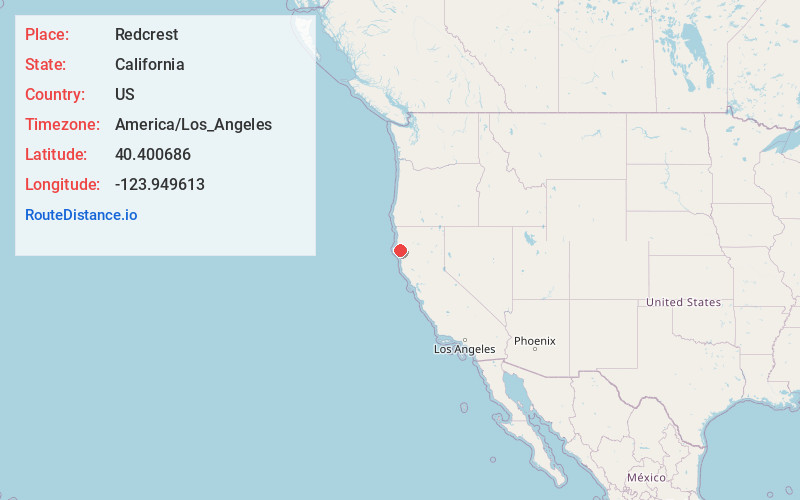
Full AddressRedcrest, CA 95569
-
Coordinates40.400686, -123.9496128
-
LocationRedcrest , California , US
-
TimezoneAmerica/Los_Angeles
-
Current Local Time9:21:53 PM America/Los_AngelesSunday, June 22, 2025
-
Page Views0
About Redcrest
Redcrest is a census-designated place in Humboldt County, California. It is located 5.5 miles north of Weott, at an elevation of 377 feet. The population was 89 at the 2010 census.
The Redcrest post office was established in 1965.
The greater Redcrest area includes the Holmes flat, Englewood and Larabee areas.


Nearby Places
Found 10 places within 50 miles

Scotia
9.9 mi
15.9 km
Scotia, CA
Get directions

Myers Flat
10.2 mi
16.4 km
Myers Flat, CA 95554
Get directions

Rio Dell
10.7 mi
17.2 km
Rio Dell, CA
Get directions

Hydesville
12.8 mi
20.6 km
Hydesville, CA
Get directions

Miranda
13.2 mi
21.2 km
Miranda, CA
Get directions

Fortuna
17.5 mi
28.2 km
Fortuna, CA 95540
Get directions

Redway
20.4 mi
32.8 km
Redway, CA 95560
Get directions

Ferndale
20.5 mi
33.0 km
Ferndale, CA 95536
Get directions

Loleta
22.1 mi
35.6 km
Loleta, CA
Get directions

Garberville
22.3 mi
35.9 km
Garberville, CA
Get directions
Location Links
Local Weather
Weather Information
Coming soon!
Location Map
Static map view of Redcrest, California
Browse Places by Distance
Places within specific distances from Redcrest
Short Distances
Long Distances
Click any distance to see all places within that range from Redcrest. Distances shown in miles (1 mile ≈ 1.61 kilometers).