Distance to Buncom, Oregon

Calculating Your Route
Just a moment while we process your request...
Location Information
-
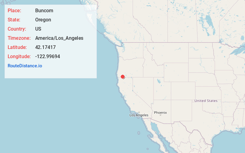
Full AddressBuncom, OR 97530
-
Coordinates42.1741699, -122.99694
-
LocationBuncom , Oregon , US
-
TimezoneAmerica/Los_Angeles
-
Current Local Time4:39:45 PM America/Los_AngelesThursday, June 19, 2025
-
Page Views0
About Buncom
Buncom is an abandoned mining town at the confluence of the Little Applegate River and Sterling Creek in Jackson County, Oregon, United States. It is approximately 20 miles southwest of Medford, at an elevation of 1,783 feet above sea level.
The site is promoted by the local historical society as a ghost town.


Nearby Places
Found 10 places within 50 miles

Ruch
4.9 mi
7.9 km
Ruch, OR 97530
Get directions

Jacksonville
9.7 mi
15.6 km
Jacksonville, OR 97530
Get directions

Phoenix
11.5 mi
18.5 km
Phoenix, OR
Get directions

Talent
11.8 mi
19.0 km
Talent, OR 97540
Get directions

Medford
12.0 mi
19.3 km
Medford, OR
Get directions

Provolt
14.3 mi
23.0 km
Provolt, OR 97527
Get directions

Williams
14.5 mi
23.3 km
Williams, OR 97544
Get directions

Central Point
14.5 mi
23.3 km
Central Point, OR
Get directions

Ashland
14.8 mi
23.8 km
Ashland, OR 97520
Get directions

Tolo
17.3 mi
27.8 km
Tolo, OR 97502
Get directions
Location Links
Local Weather
Weather Information
Coming soon!
Location Map
Static map view of Buncom, Oregon
Browse Places by Distance
Places within specific distances from Buncom
Short Distances
Long Distances
Click any distance to see all places within that range from Buncom. Distances shown in miles (1 mile ≈ 1.61 kilometers).