Distance to Bunker Hill, Kentucky

Calculating Your Route
Just a moment while we process your request...
Location Information
-
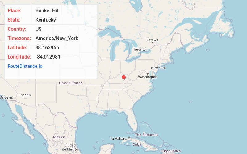
Full AddressBunker Hill, KY 40311
-
Coordinates38.1639658, -84.0129812
-
LocationKentucky , US
-
TimezoneAmerica/New_York
-
Current Local Time4:46:51 PM America/New_YorkTuesday, July 1, 2025
-
Page Views0
Nearby Places
Found 10 places within 50 miles

Sharpsburg
5.2 mi
8.4 km
Sharpsburg, KY 40374
Get directions

North Middletown
5.5 mi
8.9 km
North Middletown, KY
Get directions
Grassy Lick
5.7 mi
9.2 km
Grassy Lick, KY 40353
Get directions
Jackstown
6.1 mi
9.8 km
Jackstown, KY 40311
Get directions
Reid Village
8.2 mi
13.2 km
Reid Village, KY 40353
Get directions

Mt Sterling
8.3 mi
13.4 km
Mt Sterling, KY 40353
Get directions
Bethel
9.7 mi
15.6 km
Bethel, KY 40374
Get directions

Carlisle
10.3 mi
16.6 km
Carlisle, KY 40311
Get directions
Millersburg
12.0 mi
19.3 km
Millersburg, KY
Get directions
Bourbon County
12.2 mi
19.6 km
Bourbon County, KY
Get directions
Location Links
Local Weather
Weather Information
Coming soon!
Location Map
Static map view of Bunker Hill, Kentucky
Browse Places by Distance
Places within specific distances from Bunker Hill
Short Distances
Long Distances
Click any distance to see all places within that range from Bunker Hill. Distances shown in miles (1 mile ≈ 1.61 kilometers).