Distance to Burfordville, Missouri

Calculating Your Route
Just a moment while we process your request...
Location Information
-
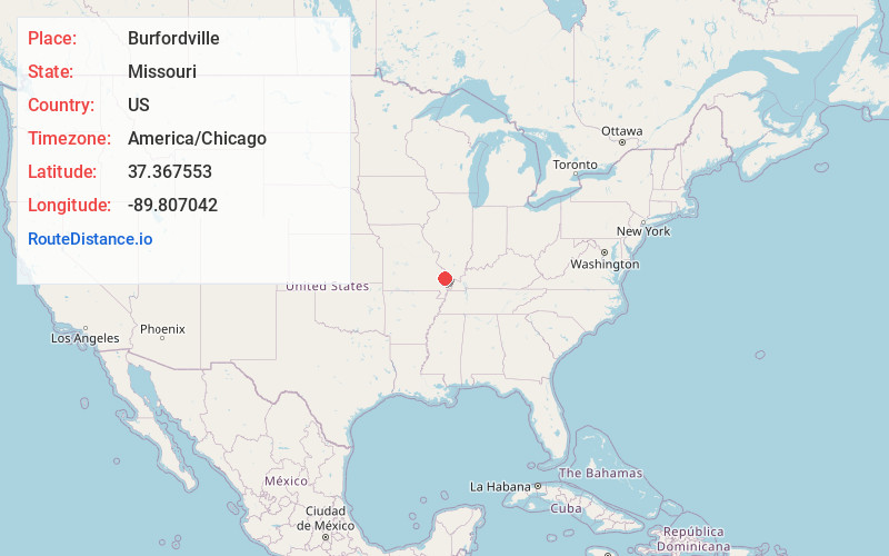
Full AddressBurfordville, MO
-
Coordinates37.3675525, -89.807042
-
LocationBurfordville , Missouri , US
-
TimezoneAmerica/Chicago
-
Current Local Time7:14:27 PM America/ChicagoSunday, June 1, 2025
-
Page Views0
About Burfordville
Burfordville is an unincorporated community in western Cape Girardeau County, Missouri, United States, on the banks of the Whitewater River. It is located five miles west of Jackson on Route 34. Bufordville is part of the Cape Girardeau–Jackson, MO-IL Metropolitan Statistical Area.


Nearby Places
Found 10 places within 50 miles

Millersville
4.5 mi
7.2 km
Millersville, MO
Get directions

Jackson
7.8 mi
12.6 km
Jackson, MO 63755
Get directions

Gordonville
8.0 mi
12.9 km
Gordonville, MO
Get directions

Marble Hill
9.9 mi
15.9 km
Marble Hill, MO 63764
Get directions
Oak Ridge
10.2 mi
16.4 km
Oak Ridge, MO
Get directions
Sedgewickville
11.6 mi
18.7 km
Sedgewickville, MO 63743
Get directions

Delta
12.4 mi
20.0 km
Delta, MO
Get directions
Shawneetown
15.3 mi
24.6 km
Shawneetown, MO 63755
Get directions

Chaffee
15.4 mi
24.8 km
Chaffee, MO 63740
Get directions

Cape Girardeau
16.4 mi
26.4 km
Cape Girardeau, MO
Get directions
Location Links
Local Weather
Weather Information
Coming soon!
Location Map
Static map view of Burfordville, Missouri
Browse Places by Distance
Places within specific distances from Burfordville
Short Distances
Long Distances
Click any distance to see all places within that range from Burfordville. Distances shown in miles (1 mile ≈ 1.61 kilometers).