Distance to Burning Tree Ranch, Colorado

Calculating Your Route
Just a moment while we process your request...
Location Information
-
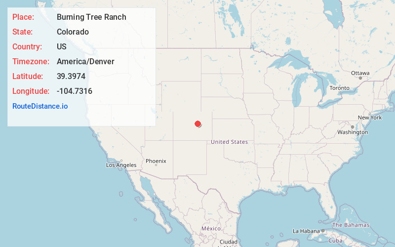
Full AddressBurning Tree Ranch, CO 80116
-
Coordinates39.3974, -104.7316
-
LocationColorado , US
-
TimezoneAmerica/Denver
-
Current Local Time9:35:56 PM America/DenverThursday, June 19, 2025
-
Page Views0
Nearby Places
Found 10 places within 50 miles

Franktown
1.2 mi
1.9 km
Franktown, CO 80116
Get directions

The Pinery
4.0 mi
6.4 km
The Pinery, CO 80134
Get directions

Windy Hills
6.5 mi
10.5 km
Windy Hills, CO 80138
Get directions

Castle Rock
6.9 mi
11.1 km
Castle Rock, CO
Get directions
Silver Heights
7.3 mi
11.7 km
Silver Heights, CO 80108
Get directions

Elizabeth
7.6 mi
12.2 km
Elizabeth, CO 80107
Get directions
Happy Canyon
7.9 mi
12.7 km
Happy Canyon, CO 80108
Get directions

Parker
8.5 mi
13.7 km
Parker, CO
Get directions
Stonegate
10.0 mi
16.1 km
Stonegate, CO 80134
Get directions

Castle Pines
10.1 mi
16.3 km
Castle Pines, CO 80108
Get directions
Location Links
Local Weather
Weather Information
Coming soon!
Location Map
Static map view of Burning Tree Ranch, Colorado
Browse Places by Distance
Places within specific distances from Burning Tree Ranch
Short Distances
Long Distances
Click any distance to see all places within that range from Burning Tree Ranch. Distances shown in miles (1 mile ≈ 1.61 kilometers).