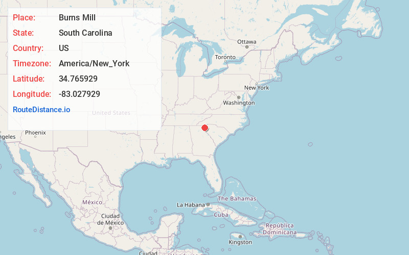
Distance to Burns Mill, South Carolina

Calculating Your Route
Just a moment while we process your request...
Location Information
-
Full AddressBurns Mill, SC 29696
-
Coordinates34.7659291, -83.0279294
-
LocationSouth Carolina , US
-
TimezoneAmerica/New_York
-
Current Local Time1:17:22 AM America/New_YorkFriday, June 20, 2025
-
Page Views0
Nearby Places
Found 10 places within 50 miles

West Union
1.0 mi
1.6 km
West Union, SC
Get directions

Walhalla
2.1 mi
3.4 km
Walhalla, SC
Get directions

Fairview
3.6 mi
5.8 km
Fairview, SC 29696
Get directions
Richland
6.1 mi
9.8 km
Richland, SC 29693
Get directions
Camp Oak
6.4 mi
10.3 km
Camp Oak, SC 29691
Get directions

Seneca
7.0 mi
11.3 km
Seneca, SC
Get directions

Newry
7.3 mi
11.7 km
Newry, SC
Get directions

Tamassee
7.9 mi
12.7 km
Tamassee, SC
Get directions

Lake Keowee
8.0 mi
12.9 km
Lake Keowee, South Carolina
Get directions

Westminster
8.0 mi
12.9 km
Westminster, SC 29693
Get directions
Location Links
Local Weather
Weather Information
Coming soon!
Location Map
Static map view of Burns Mill, South Carolina
Browse Places by Distance
Places within specific distances from Burns Mill
Short Distances
Long Distances
Click any distance to see all places within that range from Burns Mill. Distances shown in miles (1 mile ≈ 1.61 kilometers).