Distance to West Union, South Carolina

Calculating Your Route
Just a moment while we process your request...
Location Information
-
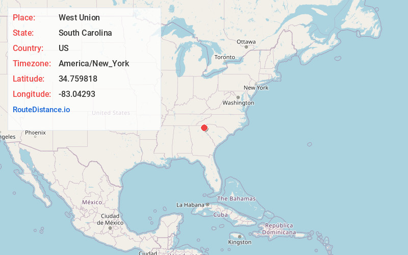
Full AddressWest Union, SC
-
Coordinates34.759818, -83.04293
-
LocationWest Union , South Carolina , US
-
TimezoneAmerica/New_York
-
Current Local Time11:05:55 AM America/New_YorkTuesday, June 24, 2025
-
Page Views0
About West Union
West Union is a town in Oconee County, South Carolina, United States. Although its name suggests that it is near Union, they are approximately four counties apart. The population was 291 at the 2010 census.

Nearby Places
Found 10 places within 50 miles

Walhalla
1.2 mi
1.9 km
Walhalla, SC
Get directions

Seneca
7.2 mi
11.6 km
Seneca, SC
Get directions

Westminster
7.2 mi
11.6 km
Westminster, SC 29693
Get directions

Utica
8.5 mi
13.7 km
Utica, SC 29678
Get directions

Clemson
12.8 mi
20.6 km
Clemson, SC
Get directions

Six Mile
13.0 mi
20.9 km
Six Mile, SC
Get directions

Central
15.1 mi
24.3 km
Central, SC 29630
Get directions

Cateechee
15.3 mi
24.6 km
Cateechee, SC 29630
Get directions

Norris
16.4 mi
26.4 km
Norris, SC
Get directions

Pendleton
16.5 mi
26.6 km
Pendleton, SC
Get directions
Location Links
Local Weather
Weather Information
Coming soon!
Location Map
Static map view of West Union, South Carolina
Browse Places by Distance
Places within specific distances from West Union
Short Distances
Long Distances
Click any distance to see all places within that range from West Union. Distances shown in miles (1 mile ≈ 1.61 kilometers).