Distance to Butler, Texas

Calculating Your Route
Just a moment while we process your request...
Location Information
-
Full AddressButler, TX 75840
-
Coordinates31.6637826, -95.9235734
-
LocationButler , Texas , US
-
TimezoneAmerica/Chicago
-
Current Local Time12:07:16 AM America/ChicagoThursday, June 5, 2025
-
Page Views0
About Butler
Butler is a historic, unincorporated community in Freestone County, Texas, United States. The community is southeast of Fairfield and approximately 14 miles outside city limits on U.S. Route 84.
Nearby Places
Found 10 places within 50 miles

Oakwood
7.0 mi
11.3 km
Oakwood, TX 75855
Get directions

Turlington
8.0 mi
12.9 km
Turlington, TX 75840
Get directions

Fairfield
14.8 mi
23.8 km
Fairfield, TX
Get directions

Buffalo
15.9 mi
25.6 km
Buffalo, TX 75831
Get directions
Montalba
18.5 mi
29.8 km
Montalba, TX 75853
Get directions

Palestine
18.5 mi
29.8 km
Palestine, TX
Get directions

Elkhart
20.4 mi
32.8 km
Elkhart, TX 75839
Get directions

Teague
21.3 mi
34.3 km
Teague, TX 75860
Get directions
Donie
21.8 mi
35.1 km
Donie, TX 75838
Get directions
Reynard
23.6 mi
38.0 km
Reynard, TX 75844
Get directions
Location Links
Local Weather
Weather Information
Coming soon!
Location Map
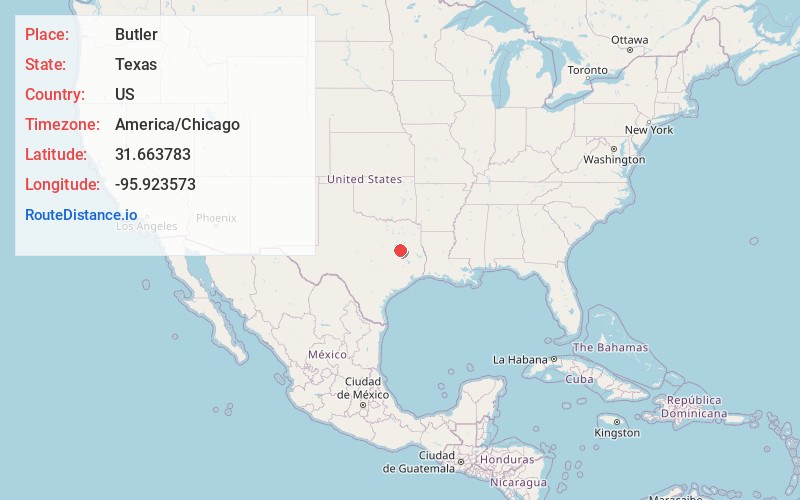
Static map view of Butler, Texas
Browse Places by Distance
Places within specific distances from Butler
Short Distances
Long Distances
Click any distance to see all places within that range from Butler. Distances shown in miles (1 mile ≈ 1.61 kilometers).