Distance to Buttonsberry, Kentucky

Calculating Your Route
Just a moment while we process your request...
Location Information
-
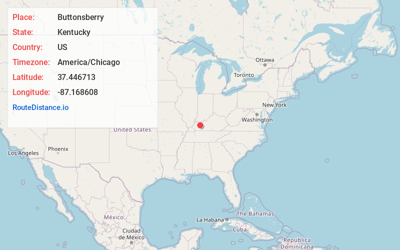
Full AddressButtonsberry, KY 42350
-
Coordinates37.4467126, -87.1686078
-
LocationKentucky , US
-
TimezoneAmerica/Chicago
-
Current Local Time6:40:23 AM America/ChicagoSunday, June 29, 2025
-
Page Views0
About Buttonsberry
Buttonsberry is an unincorporated community located in McLean County, Kentucky, United States. It was also known as Karnes Station. The etymology refers to finding a button nearby while picking berries.
Nearby Places
Found 10 places within 50 miles

Island
1.4 mi
2.3 km
Island, KY 42350
Get directions

Kirtley
3.8 mi
6.1 km
Kirtley, KY 42328
Get directions

Livermore
3.8 mi
6.1 km
Livermore, KY
Get directions
Semiway
4.4 mi
7.1 km
Semiway, KY 42350
Get directions

Sacramento
5.7 mi
9.2 km
Sacramento, KY 42372
Get directions

Bremen
6.5 mi
10.5 km
Bremen, KY
Get directions

South Carrollton
7.7 mi
12.4 km
South Carrollton, KY
Get directions

Calhoun
8.1 mi
13.0 km
Calhoun, KY 42327
Get directions
Livia
9.3 mi
15.0 km
Livia, KY 42376
Get directions

Centertown
9.7 mi
15.6 km
Centertown, KY 42328
Get directions
Location Links
Local Weather
Weather Information
Coming soon!
Location Map
Static map view of Buttonsberry, Kentucky
Browse Places by Distance
Places within specific distances from Buttonsberry
Short Distances
Long Distances
Click any distance to see all places within that range from Buttonsberry. Distances shown in miles (1 mile ≈ 1.61 kilometers).