Distance to Buxton, Kansas
Location Information
-
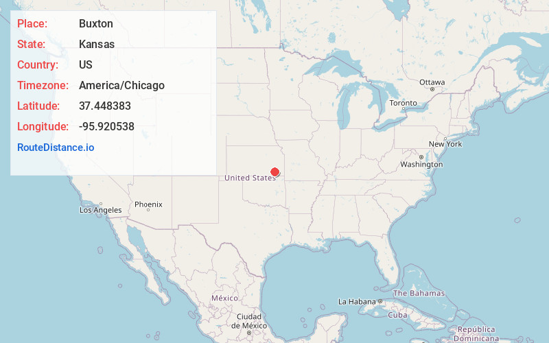
Full AddressBuxton, KS 66736
-
Coordinates37.4483826, -95.9205379
-
LocationBuxton , Kansas , US
-
TimezoneAmerica/Chicago
-
Current Local Time7:37:22 AM America/ChicagoFriday, May 16, 2025
-
Page Views0
About Buxton
Buxton is an unincorporated community in Wilson County, Kansas, United States.
Nearby Places
Found 10 places within 50 miles

Lafontaine
5.3 mi
8.5 km
Lafontaine, KS 66736
Get directions

South Mound
7.4 mi
11.9 km
South Mound, Fredonia, KS 66736
Get directions

Fredonia
7.8 mi
12.6 km
Fredonia, KS 66736
Get directions

New Albany
8.3 mi
13.4 km
New Albany, KS 66736
Get directions
Oak Valley
8.8 mi
14.2 km
Oak Valley, KS 67344
Get directions
Longton
10.1 mi
16.3 km
Longton, KS 67352
Get directions

Elk City
11.0 mi
17.7 km
Elk City, KS 67344
Get directions

Fall River
12.5 mi
20.1 km
Fall River, KS 67047
Get directions
Cave Springs
12.5 mi
20.1 km
Cave Springs, Liberty Township, KS 67349
Get directions

Neodesha
13.3 mi
21.4 km
Neodesha, KS 66757
Get directions
Location Links
Local Weather
Weather Information
Coming soon!
Location Map
Static map view of Buxton, Kansas
Browse Places by Distance
Places within specific distances from Buxton
Short Distances
Long Distances
Click any distance to see all places within that range from Buxton. Distances shown in miles (1 mile ≈ 1.61 kilometers).