Distance to Cabin Point, Virginia

Calculating Your Route
Just a moment while we process your request...
Location Information
-
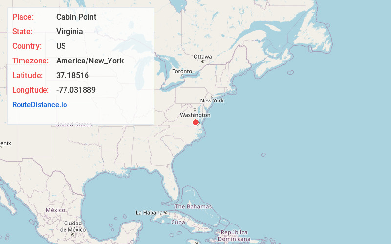
Full AddressCabin Point, VA 23881
-
Coordinates37.1851595, -77.0318891
-
LocationCabin Point , Virginia , US
-
TimezoneAmerica/New_York
-
Current Local Time8:09:49 PM America/New_YorkTuesday, June 24, 2025
-
Page Views0
About Cabin Point
Cabin Point is an unincorporated community in Surry County, Virginia, United States. Cabin Point is located on Virginia State Route 10, 4.8 miles southwest of Claremont. Montpelier, a home which is listed on the National Register of Historic Places, is located near Cabin Point.

Nearby Places
Found 10 places within 50 miles

Burrowsville
3.2 mi
5.1 km
Burrowsville, VA 23881
Get directions

Spring Grove
3.5 mi
5.6 km
Spring Grove, VA 23881
Get directions
Savedge
3.6 mi
5.8 km
Savedge, VA 23890
Get directions
Lone Oak Mill
4.3 mi
6.9 km
Lone Oak Mill, VA 23881
Get directions
Claremont Manor
4.6 mi
7.4 km
Claremont Manor, Claremont, VA 23899
Get directions

Claremont
4.8 mi
7.7 km
Claremont, VA
Get directions
Willow Hill
5.0 mi
8.0 km
Willow Hill, VA 23881
Get directions
Brandon
5.2 mi
8.4 km
Brandon, VA 23881
Get directions
Barham
5.4 mi
8.7 km
Barham, VA 23881
Get directions
Tettington
6.1 mi
9.8 km
Tettington, VA 23030
Get directions
Location Links
Local Weather
Weather Information
Coming soon!
Location Map
Static map view of Cabin Point, Virginia
Browse Places by Distance
Places within specific distances from Cabin Point
Short Distances
Long Distances
Click any distance to see all places within that range from Cabin Point. Distances shown in miles (1 mile ≈ 1.61 kilometers).