Distance to Spring Grove, Virginia

Calculating Your Route
Just a moment while we process your request...
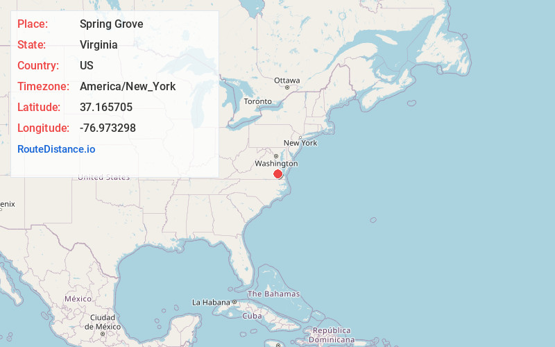
Location Information
-
Full AddressSpring Grove, VA 23881
-
Coordinates37.1657049, -76.9732977
-
LocationSpring Grove , Virginia , US
-
TimezoneAmerica/New_York
-
Current Local Time3:41:10 PM America/New_YorkTuesday, June 24, 2025
-
Page Views0
About Spring Grove
Spring Grove is an unincorporated community in Surry County, Virginia, United States. Spring Grove is located at the junction of Virginia State Route 10 and Virginia State Route 40, 7.9 miles west-northwest of Surry. Spring Grove has a post office with ZIP code 23881.


Nearby Places
Found 10 places within 50 miles

Savedge
3.4 mi
5.5 km
Savedge, VA 23890
Get directions

Claremont
4.3 mi
6.9 km
Claremont, VA
Get directions
Eastover
5.0 mi
8.0 km
Eastover, VA 23881
Get directions
Brandon
6.4 mi
10.3 km
Brandon, VA 23881
Get directions
Burrowsville
6.6 mi
10.6 km
Burrowsville, VA 23881
Get directions
Spratleys Mill
6.7 mi
10.8 km
Spratleys Mill, VA 23839
Get directions
Moorings
7.8 mi
12.6 km
Moorings, VA 23839
Get directions

Surry
7.8 mi
12.6 km
Surry, VA
Get directions
Barham
7.9 mi
12.7 km
Barham, VA 23881
Get directions
Dendron
8.6 mi
13.8 km
Dendron, VA
Get directions
Location Links
Local Weather
Weather Information
Coming soon!
Location Map
Static map view of Spring Grove, Virginia
Browse Places by Distance
Places within specific distances from Spring Grove
Short Distances
Long Distances
Click any distance to see all places within that range from Spring Grove. Distances shown in miles (1 mile ≈ 1.61 kilometers).