Distance to Surry, Virginia

Calculating Your Route
Just a moment while we process your request...
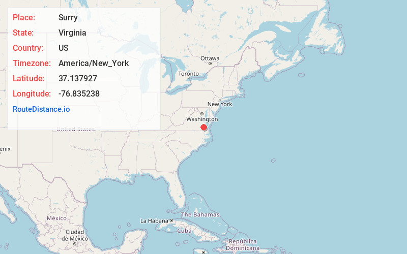
Location Information
-
Full AddressSurry, VA
-
Coordinates37.1379265, -76.8352384
-
LocationSurry , Virginia , US
-
TimezoneAmerica/New_York
-
Current Local Time6:07:52 AM America/New_YorkWednesday, June 18, 2025
-
Page Views0
About Surry
Surry is an incorporated town in Surry County, Virginia, United States. The population was 244 at the 2010 census. It is the county seat of Surry County. Its name is derived from the historic county of Surrey in England.

Nearby Places
Found 10 places within 50 miles

Dendron
8.5 mi
13.7 km
Dendron, VA
Get directions

Claremont
9.4 mi
15.1 km
Claremont, VA
Get directions
Rushmere
10.0 mi
16.1 km
Rushmere, VA 23430
Get directions

Williamsburg
11.8 mi
19.0 km
Williamsburg, VA
Get directions

Wakefield
14.5 mi
23.3 km
Wakefield, VA 23888
Get directions

Smithfield
15.6 mi
25.1 km
Smithfield, VA 23430
Get directions

Waverly
16.0 mi
25.7 km
Waverly, VA 23890
Get directions
Ivor
16.5 mi
26.6 km
Ivor, VA 23866
Get directions

Yorktown
19.2 mi
30.9 km
Yorktown, VA 23690
Get directions
Benns Church
19.5 mi
31.4 km
Benns Church, VA
Get directions
Location Links
Local Weather
Weather Information
Coming soon!
Location Map
Static map view of Surry, Virginia
Browse Places by Distance
Places within specific distances from Surry
Short Distances
Long Distances
Click any distance to see all places within that range from Surry. Distances shown in miles (1 mile ≈ 1.61 kilometers).