Distance to Ivor, Virginia

Calculating Your Route
Just a moment while we process your request...
Location Information
-
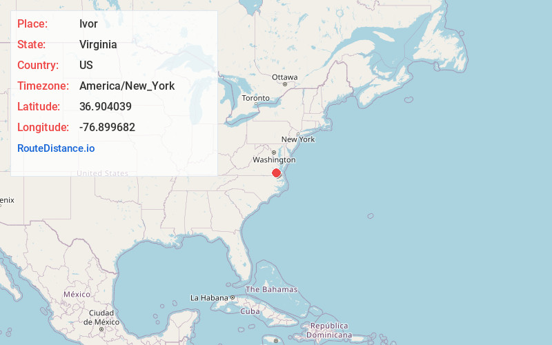
Full AddressIvor, VA 23866
-
Coordinates36.9040391, -76.8996824
-
LocationIvor , Virginia , US
-
TimezoneAmerica/New_York
-
Current Local Time12:55:22 PM America/New_YorkTuesday, June 17, 2025
-
Page Views0
About Ivor
Ivor is an incorporated town in Southampton County, Virginia, United States. It is twenty-three miles northwest of Suffolk. The population was 320 at the 2000 census.
Nearby Places
Found 10 places within 50 miles

Wakefield
6.7 mi
10.8 km
Wakefield, VA 23888
Get directions

Sedley
10.0 mi
16.1 km
Sedley, VA
Get directions

Windsor
10.8 mi
17.4 km
Windsor, VA 23487
Get directions

Waverly
14.1 mi
22.7 km
Waverly, VA 23890
Get directions
Camptown
15.3 mi
24.6 km
Camptown, VA 23851
Get directions

Franklin
15.7 mi
25.3 km
Franklin, VA 23851
Get directions

Smithfield
15.8 mi
25.4 km
Smithfield, VA 23430
Get directions
Courtland
16.0 mi
25.7 km
Courtland, VA 23837
Get directions
Rushmere
16.7 mi
26.9 km
Rushmere, VA 23430
Get directions
Benns Church
17.5 mi
28.2 km
Benns Church, VA
Get directions
Location Links
Local Weather
Weather Information
Coming soon!
Location Map
Static map view of Ivor, Virginia
Browse Places by Distance
Places within specific distances from Ivor
Short Distances
Long Distances
Click any distance to see all places within that range from Ivor. Distances shown in miles (1 mile ≈ 1.61 kilometers).